Covered Geographical Map, From 1700-kingdom Of France flag


Object description :

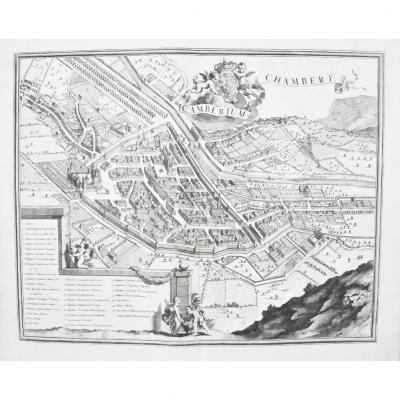
"Covered Geographical Map, From 1700-kingdom Of France"
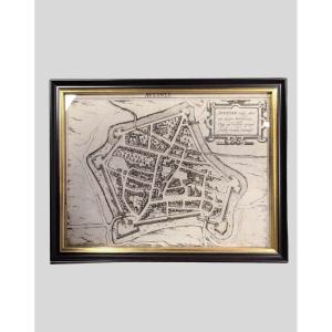
Covered and folded like a current road map, most certainly to be carried at the time in luggage: Geographical map dated 1700. Dimensions: 63.5 cm x 48.5 cm. Good condition, the stains on the canvas do not appear on the printed side. Shipping extra, 9€ registered for France, thank you.
Price: 175 €
Period: 17th century
Style: Other Style
Condition: Good condition

Material: Paper

Reference: 1045203
Contact Dealer
line

"Christol'Antic" See more objects from this dealer

line

"Old Maps, Other Style"

More objects on Proantic.com
Subscribe to newsletter
line
facebook
pinterest
instagram
Christol'Antic
Des objets éclectiques pour des goûts éclectiques, des bijoux etc...
Covered Geographical Map, From 1700-kingdom Of France
1045203-main-6391081b68ecb.jpg
0670485982
0616174882


*We will send you a confirmation email from info@proantic.com Please check your messages, including the spam folder.

Thank you! Your submission has been received!

Oops! Something went wrong while submitting the form