THIS OBJECT WAS SOLD
Albert Barbey Old Map Of The Mont-blanc Chain, Mountain Alpinism.

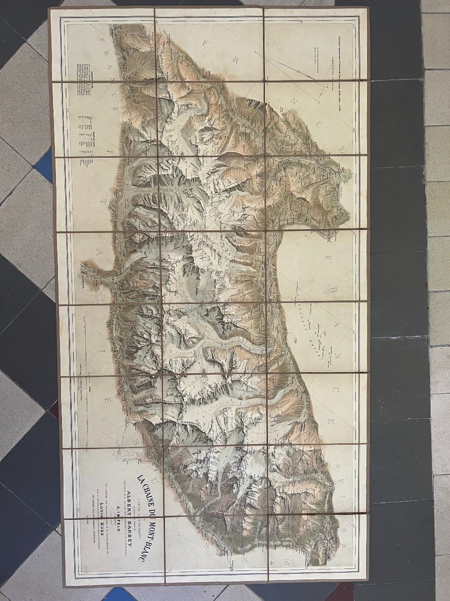


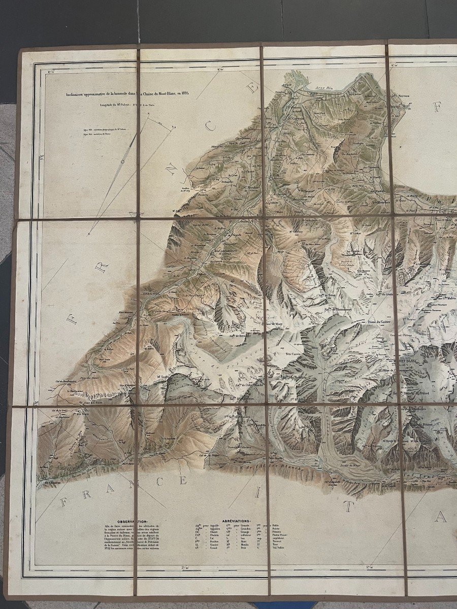

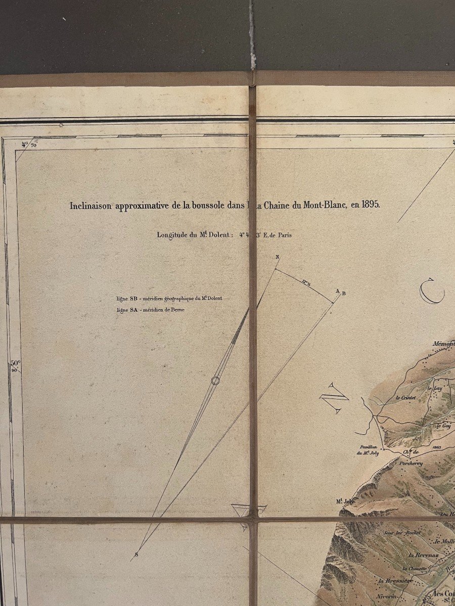


(MAP) - IMFELD (Xavier) and KURZ (Louis). The Mont-Blanc chain, map at 1/50,000th scale drawn up on the orders of Albert Barbey, President of the Diablerets Section of the Swiss Alpoin Club, by X. Imfeld, engineer, according to surveys, measurements and nomenclature by Louis Kurz. Swiss Alpine Club, engraved and printed by Kümmerly frères in Bern, 1896. Dimension 104 cm by 57 cm cut and covered. Beautiful color map at 1/50,000 of the Mont-Blanc massif. "This first edition does not include the level curves that were added in 1905. The interest of this map lies in the layout of many routes, new routes for climbing Mont-Blanc and Alpine passes allowing the crossing of the massive" Presents nature in good condition as in the photos Sending by colissimo contact me Don't forget to follow my gallery to be informed of the latest news Find us on Instagram #galerie_N.6
Explore similar pieces and discover your ideal find:
Old Maps