18th Century Map. Languedoc Region. flag


Object description :

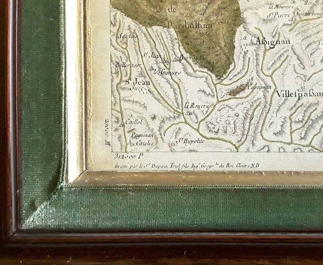
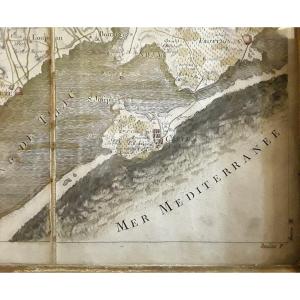
"18th Century Map. Languedoc Region."
Large map framed and pasted on canvas from the 18th century. Engraved by Dupain-Triel, it represents part of the Languedoc region between "Cette", St Chinian and Lodeve. (Region No. 57). Good state of conservation.
Price: 450 €
credit
Artist: Dupain- Triel Fils. Ingénieur Du Roi.
Period: 18th century
Style: Louis 16th, Directory
Condition: Bel état

Width: 92 cm gravure/ 105 cm cadre
Height: 59 cm gravure /71 cm cadre

Reference: 1059959
Contact Dealer
line

"Antiquités Martin" See more objects from this dealer

line

"Prints (Relief, Intaglio), Louis 16th, Directory"

More objects on Proantic.com
Subscribe to newsletter
line
facebook
pinterest
instagram
Antiquités Martin
Antiquaire de Père en Fils depuis 1920
18th Century Map. Languedoc Region.
1059959-main-63b805f01c45e.jpg
06 60 87 05 50
06 60 87 05 50


*We will send you a confirmation email from info@proantic.com Please check your messages, including the spam folder.

Thank you! Your submission has been received!

Oops! Something went wrong while submitting the form