Beaux coloris anciens.
Texte en gothique au verso.
1 rousseurs dans la ville de Boisseuil.
Bon état.
Format feuille : 60 x 51 cm.
Format gravure : 50,5 x 38 cm.
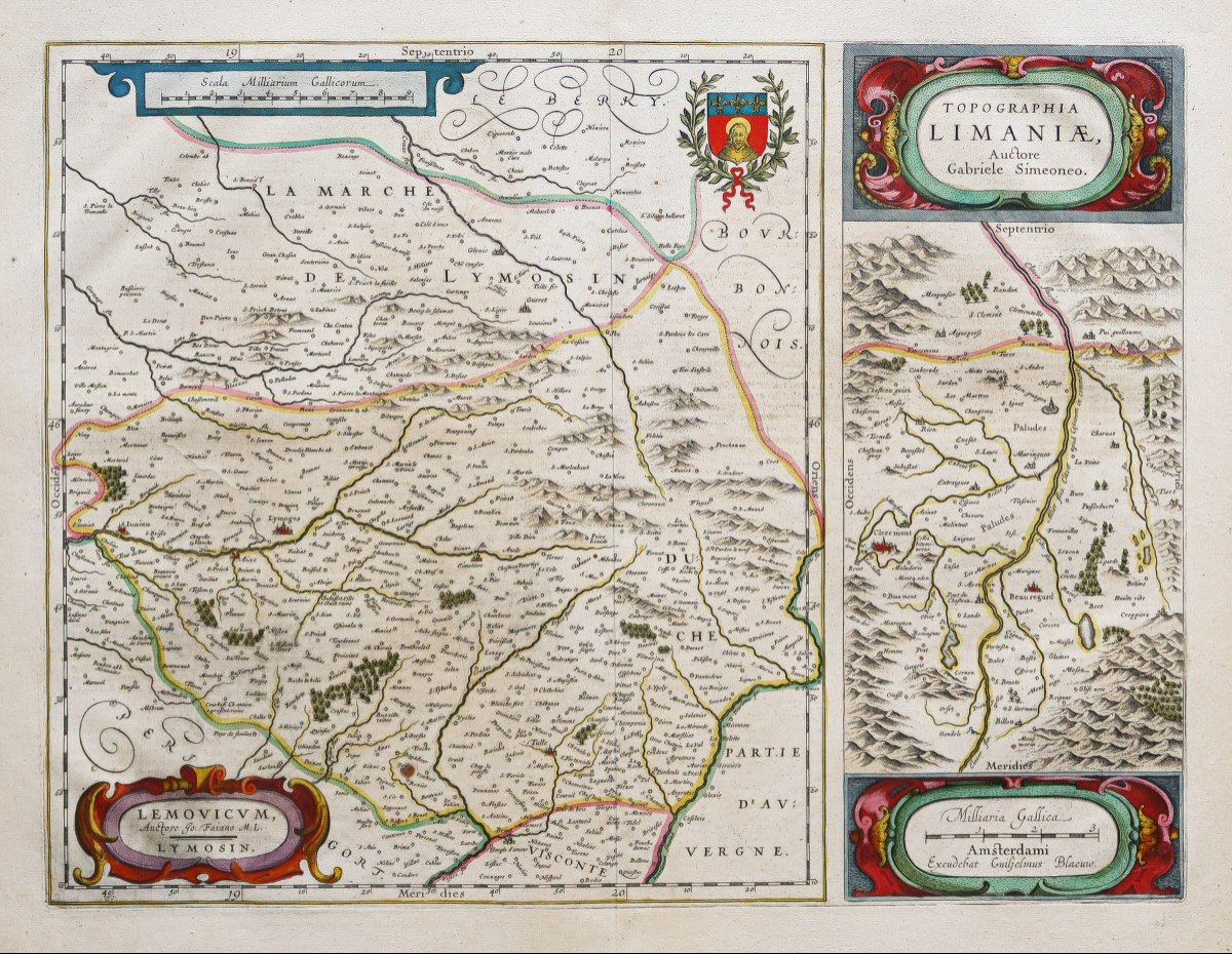
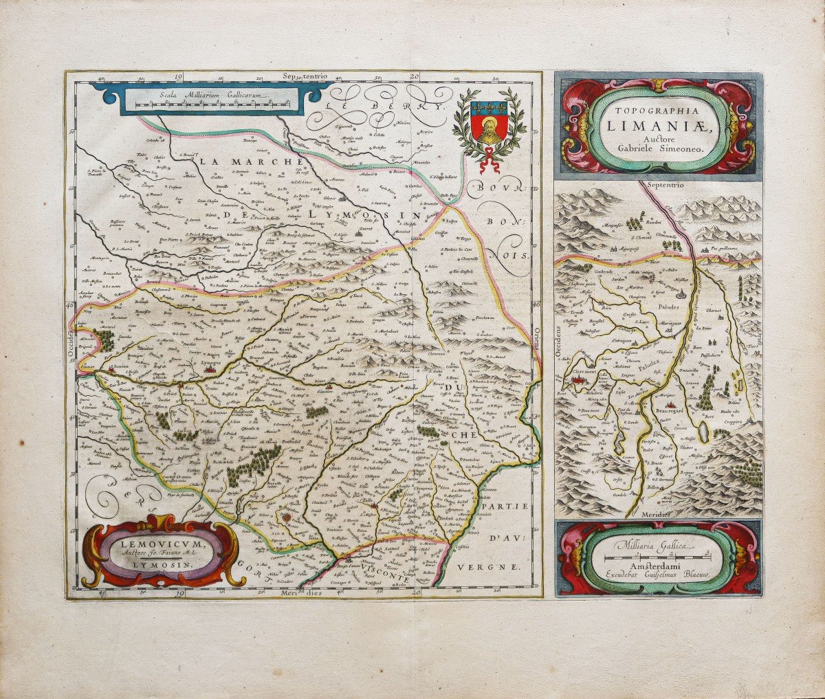
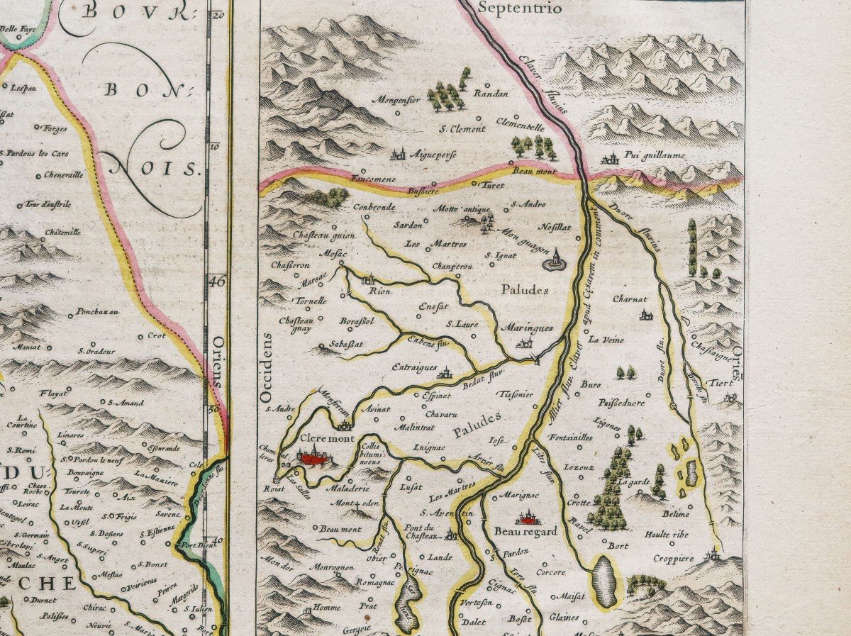
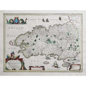
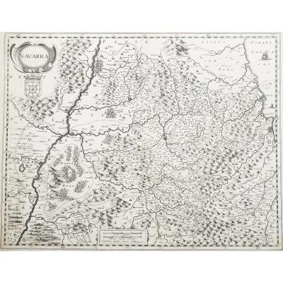
Original antique map of 1644.
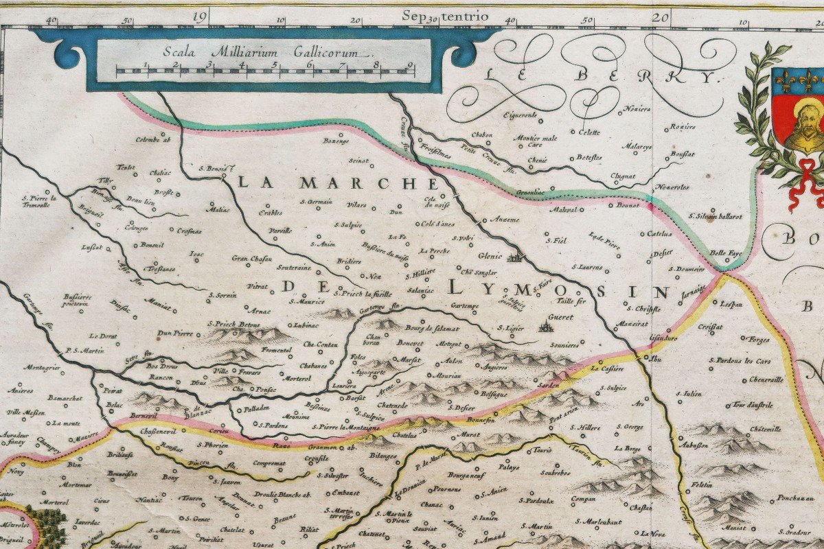
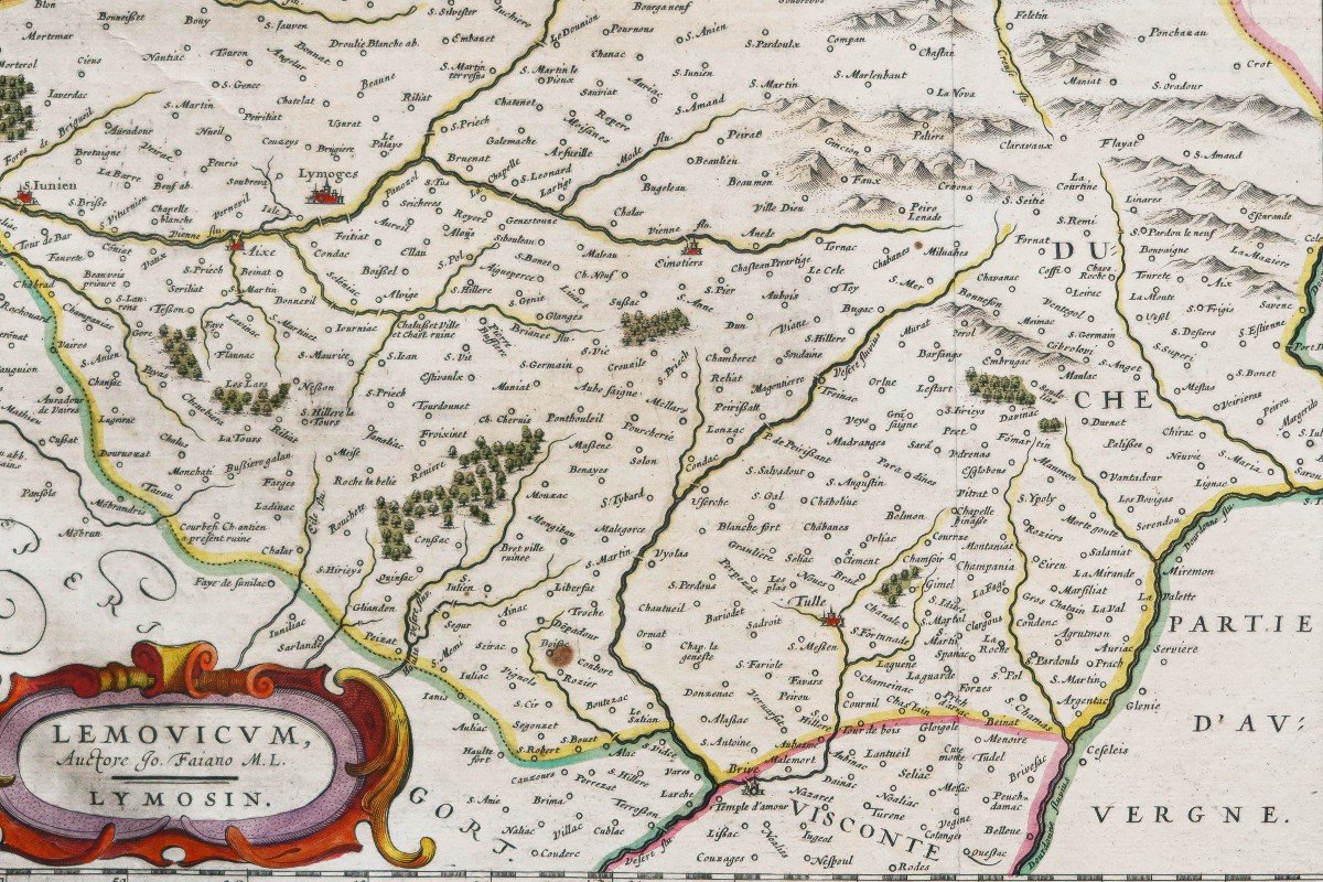
La carte de Limaniae était basée sur les travaux de Gabriel Symeoni. La plus grande carte couvre la ville de Limoges, Saint Julien, Tulle.
La carte de droite montre la zone autour de Beauregard et de Clermont.
Vous pouvez consulter l’ensemble des cartes, livres et gravures disponibles sur votre région en cliquant sur le lien de notre site internet spécialisé en archives anciennes géographiques :
https://cartes-livres-anciens.com/categorie-produit/cartes-geographiques-anciennes-original-antique-maps/france/auvergne-limousin/
Règlement sécurisé par carte bancaire sur notre site internet en cliquant sur le lien ci-dessous :
https://cartes-livres-anciens.com/produit/cartes-geographiques-anciennes-original-antique-maps/france/auvergne-limousin/carte-geographique-ancienne-du-limousin-5/
Toutes nos cartes et gravures sont accompagnées d’un certificat d’authenticité.
Johannes Blaeu, né en 1598 à Alkmaar et décédé en 1673, était un cartographe et éditeur néerlandais. Il est le fils de Willem Blaeu. Il est son collaborateur depuis 1631 et poursuit son œuvre après son décès (1638). Il complète ainsi le Novus Atlas qu’il publie en trois volumes en 1640, quatre en 1645, six en 1655, pour finalement publier l’Atlas Maior, disponible en 9 ou 12 volumes, selon les éditions. L’Atlas Major fut publié à environ 300 exemplaires ; il comptait environ 600 planches. Étrangement, l’édition néerlandaise compte seulement 9 volumes tandis que celle légendée en français, plus complète, en compte 12.
Original proof made in 1644. Blaeu engraver. Beautiful old colors. Text in Gothic on the back. 1 freckles in the town of Boisseuil. Good condition. Sheet size: 60 x 51 cm. Engraving format: 50.5 x 38 cm. Original antique map of 1644. The map of Limaniae was based on the work of Gabriel Symeoni. The larger map covers the city of Limoges, Saint Julien, Tulle. The map on the right shows the area around Beauregard and Clermont. You can consult all the maps, books and engravings available in your region by clicking on the link of our website specializing in ancient geographical archives: https://cartes-livres-anciens.com/categorie-produit/cartes-geographiques -anciens-original-antique-maps/france/auvergne-limousin/ Secure payment by credit card on our website by clicking on the link below: https://cartes-livres-anciens.com/produit/cartes-geographiques -anciens-original-antique-maps/france/auvergne-limousin/carte-geographique-ancienne-du-limousin-5/ All our maps and engravings are accompanied by a certificate of authenticity. Johannes Blaeu, born in 1598 in Alkmaar and died in 1673, was a Dutch cartographer and publisher. He is the son of Willem Blaeu. He has been his collaborator since 1631 and continues his work after his death (1638). He thus completed the Novus Atlas which he published in three volumes in 1640, four in 1645, six in 1655, to finally publish the Atlas Maior, available in 9 or 12 volumes, depending on the editions. The Atlas Major was published in about 300 copies; it had about 600 plates. Strangely, the Dutch edition has only 9 volumes while the French caption, which is more complete, has 12.












 Le Magazine de PROANTIC
 TRÉSORS Magazine
 Rivista Artiquariato