


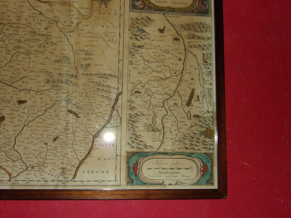


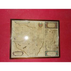
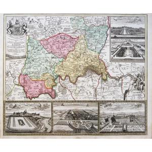
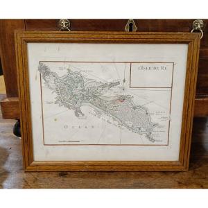
"Map Of Limousin 18th Time."
Very beautiful watercolor map of the province of Limousin and the Limagne plain (Clermont-Ferrand); 18th century. Wooden frame. - External frame dimensions: 54 x 42 cms. 


Cave et fils


PROANTIC
Our Magazines
Terms and Conditions
Thank you! Your submission has been received!
Oops! Something went wrong while submitting the form
 Le Magazine de PROANTIC
 TRÉSORS Magazine
 Rivista Artiquariato