Maritime Map Gulf Of Frejus By Jacques Nicolas Bellin 1764 flag


1209066-main-65281b36291f9.jpg 1209066-65281b55b1974.jpg 1209066-65281b55d3a4a.jpg 1209066-65281b55f2106.jpg

Object description :

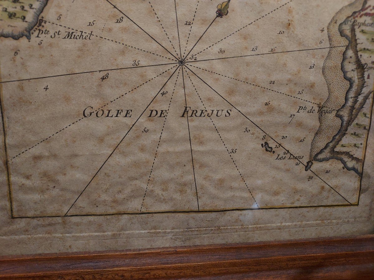
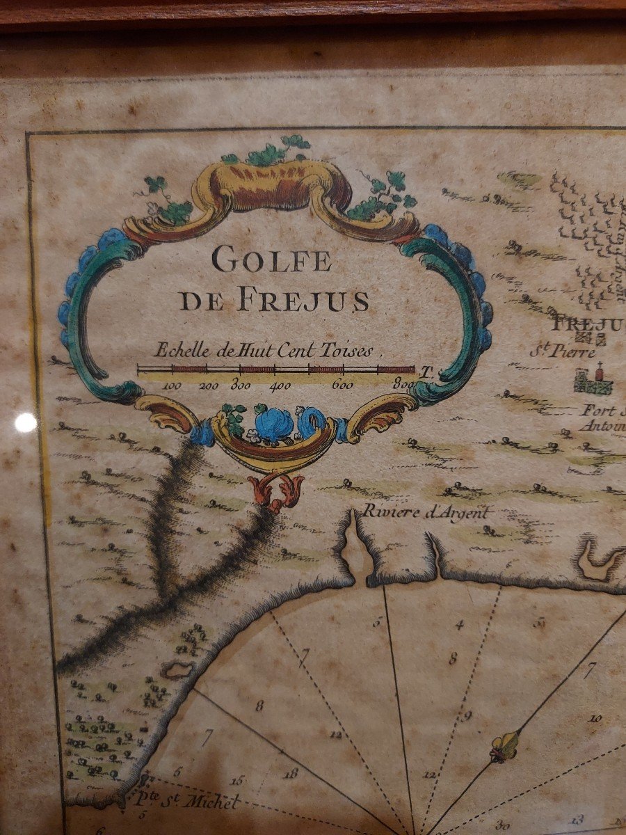
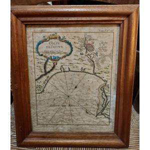
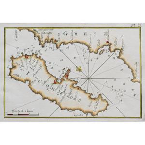
"Maritime Map Gulf Of Frejus By Jacques Nicolas Bellin 1764"
Beautiful 18th century maritime map representing the Gulf of Frejus. This engraving enhanced with gouache comes from a Maritime Atlas by Jacques Nicolas Bellin in 1764. Some foxing. Dimensions at sight 19.8 x 24.6 cm Shipping to France by registered mail: €20
Price: 200 €
Period: 18th century
Style: Other Style
Condition: Condition of use

Material: Paper
Length: 32 cm
Width: 27 cm

Reference: 1209066
Contact Dealer
line

"Saint-Cyr Antiquités" See more objects from this dealer

line

"Old Maps, Other Style"

More objects on Proantic.com
Subscribe to newsletter
line
facebook
pinterest
instagram
Saint-Cyr Antiquités
Antiquaire généraliste
Maritime Map Gulf Of Frejus By Jacques Nicolas Bellin 1764
1209066-main-65281b36291f9.jpg
0683647862


*We will send you a confirmation email from info@proantic.com Please check your messages, including the spam folder.

Thank you! Your submission has been received!

Oops! Something went wrong while submitting the form