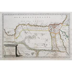
Old Geographical Map Of The Diocese Of Béziers
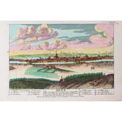
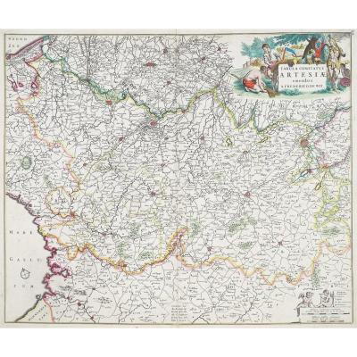
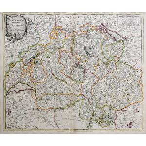
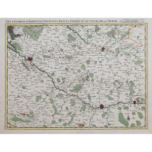
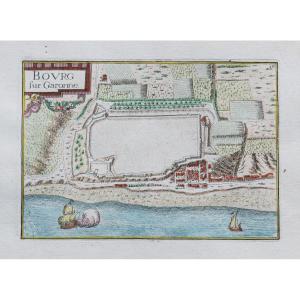
Original proof made around 1740. Covens et Mortier publishers. Guillaume DeLisle geographer. Colorful boundaries of the time. Beautiful old colors. 1 reinforcement in the upper margin at the title level. Good condition. Sheet size: 63 x 51 cm. Engraving format: 59 x 48 cm. Original antique map around 1740. Particularly decorative map, illustrated with a plan of Béziers. Large alphabetical table and explanations surrounding the card. Map of the Diocese of Béziers drawn up on site by S Gautier, engineer… You can consult all the maps and engravings available in your region by clicking on the link to our website specializing in ancient geographical archives: https://cartes- Livres-Anciens.com/categorie-produit/cartes-gegraphiques-Ancienes-original-antique-maps/france/languedoc-roussillon/ Secure payment by credit card on our website by clicking on the link: https://cartes-livres -Anciens.com/produit/cartes-gegraphiques-Anciens-original-antique-maps/france/languedoc-roussillon/carte-gegraphique-Anciene-du-diocese-de-beziers/ All our maps and engravings are accompanied by a certificate of authenticity. Pieter and David MORTIER were brothers of French origin whose publications covered a vast area encompassing French and English as well as Dutch works. Pieter was probably trained in selling books and maps in Paris and David spent many years in England; in fact, he acquired British citizenship and died around 1728 or so. After Pieter's death, his widow continued his activities until their son, Cornelis, was able to take over. Then, in 1721, Cornelis joined forces with his brother-in-law, Johannes Covens, to form the famous Covens and Mortier, a company that retained a slight name change until the mid-19th century. Guillaume DELISLE (1675 – 1726) Son of Claude Delisle, Guillaume Delisle was a student of Jean Dominique Cassini. Student astronomer at the Academy of Sciences in 1702, he became a member in 1718; taught geography to the young King Louis XV and was appointed the King's first geographer. He produced more than 100 maps that he edited himself.
320 €
Period: 18th century
Style: Other Style
Condition: Good condition
Material: Paper
Reference (ID): 1214470
Availability: In stock
Print