

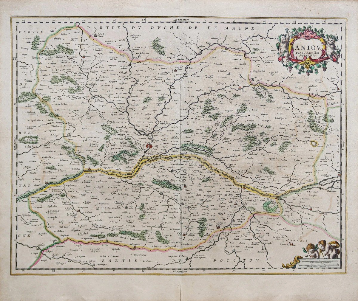
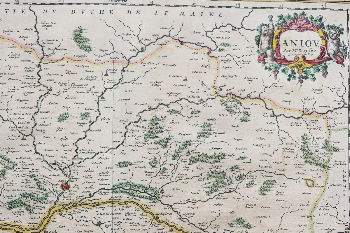
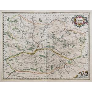


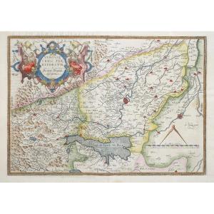
"Old Geographical Map Of Anjou"
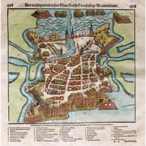
Epreuve originale réalisée en 1643. Sanson géographe.Beaux coloris anciens.
Texte explicatif en vieux français au verso.
Très bon état.
Format feuille : 60 x 51 cm.
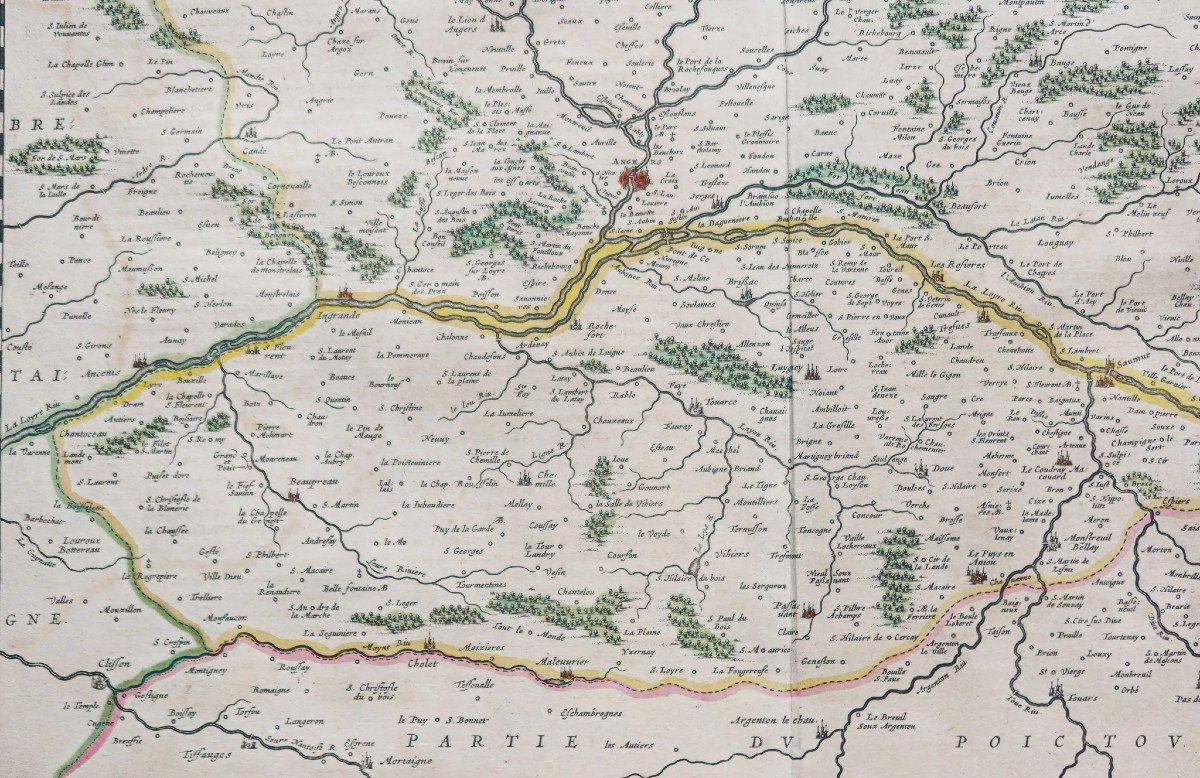
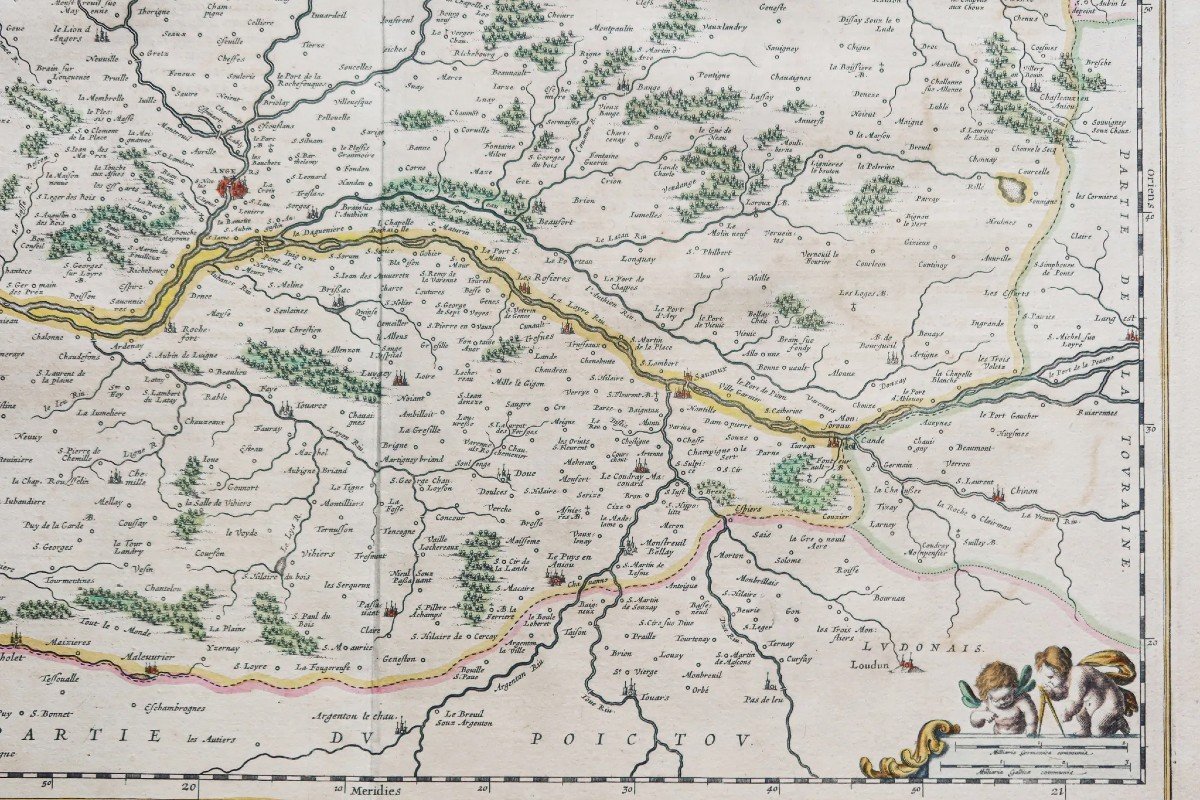
Format gravure : 56 x 43,5 cm.
Original antique map of 1643.
Beau tirage sur grand papier. Cartouche de titre avec une allégorie du vin. Echelle des mesures.
Vous pouvez consulter l’ensemble des cartes, livres et gravures disponibles sur votre région en cliquant sur le lien de notre site internet spécialisé en archives anciennes géographiques :
https://cartes-livres-anciens.com/categorie-produit/cartes-geographiques-anciennes-original-antique-maps/france/pays-de-la-loire/
Règlement sécurisé par carte bancaire sur notre site internet en cliquant sur le lien ci-dessous :
https://cartes-livres-anciens.com/produit/cartes-geographiques-anciennes-original-antique-maps/france/pays-de-la-loire/carte-geographique-ancienne-danjou-3/
Toutes nos cartes et gravures sont accompagnées d’un certificat d’authenticité.
Nicolas Sanson (né le 20 décembre 1600 à Abbeville et décédé le 7 juillet 1667 à Paris) parfois dit Nicolas Sanson d’Abbeville ou Sanson d’Abbeville était un cartographe célèbre du XVIIe siècle. Actif dès 1627, Sanson publia sa première carte importante, les Postes de France, en 1632, chez l’éditeur Melchior Tavernier. Après avoir publié seul quelques atlas généraux, il s’associa avec l’éditeur d’estampes Pierre Mariette.
Original proof made in 1643. Sanson geographer. Beautiful old colors. Explanatory text in old French on the back. Very good state. Sheet size: 60 x 51 cm. Engraving format: 56 x 43.5 cm. Original antique map of 1643. Beautiful print on large paper. Title cartridge with an allegory of wine. Measurement scale. You can consult all the maps, books and engravings available in your region by clicking on the link to our website specializing in ancient geographical archives: https://cartes-livres-anciens.com/categorie-produit/cartes-gegraphiques -Ancienes-original-antique-maps/france/pays-de-la-loire/ Secure payment by credit card on our website by clicking on the link below: https://cartes-livres-anciens.com/produit /ancient-geographic-maps-original-antique-maps/france/pays-de-la-loire/ancient-geographic-carte-danjou-3/ All our maps and engravings are accompanied by a certificate of authenticity. Nicolas Sanson (born December 20, 1600 in Abbeville and died July 7, 1667 in Paris) sometimes known as Nicolas Sanson d'Abbeville or Sanson d'Abbeville was a famous cartographer of the 17th century. Active since 1627, Sanson published his first important map, the Postes de France, in 1632, with the publisher Melchior Tavernier. After having published several general atlases on his own, he joined forces with the print publisher Pierre Mariette.


 Le Magazine de PROANTIC
 TRÉSORS Magazine
 Rivista Artiquariato