Map Of France, Drawing 1823 flag


Object description :

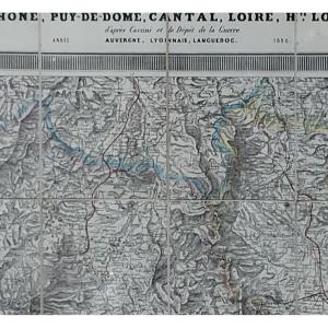
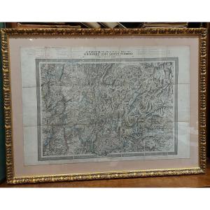
"Map Of France, Drawing 1823"
Drawn and handwritten map from 1823 of the Kingdom of France (under the reign of Charles X). Very beautiful work of cartography signed and dated, recent framing.
Price: 500 €
Period: 19th century
Style: Louis Philippe, Charles 10th
Condition: Excellent condition

Material: Paper
Width: 74
Height: 59

Reference: 1278931
Contact Dealer
line

"L'ouestampille" See more objects from this dealer

line

"Old Maps, Louis Philippe, Charles 10th"

More objects on Proantic.com
Subscribe to newsletter
line
facebook
pinterest
instagram
L'ouestampille
Généraliste XVIII et XIX
Map Of France, Drawing 1823
1278931-main-65c60b543a8ff.jpg
06 03 01 26 03


*We will send you a confirmation email from info@proantic.com Please check your messages, including the spam folder.

Thank you! Your submission has been received!

Oops! Something went wrong while submitting the form