


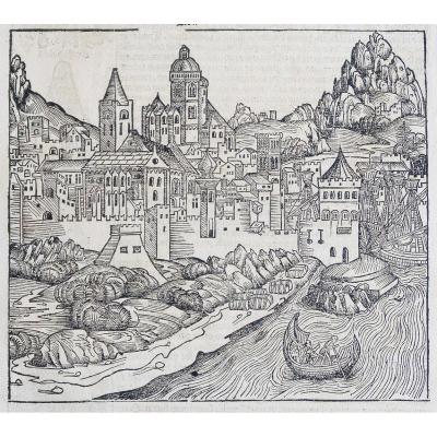
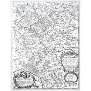
"Old Plan Of Bourges"
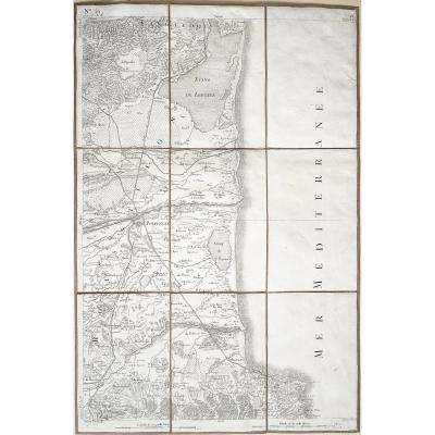
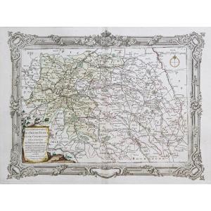
Plan of the town and suburbs of Bourges, capital of the province of Berri. Original proof made in 1705. Nicolas de Fer cartographer. 1 small wormhole under the title block. Good condition. Sheet size: 41 x 27.5 cm. Engraving format: 33.5 x 23.5 cm. Original antique engraving of 1705 You can consult all the maps, books and engravings available in your region by clicking on the link to our website specializing in ancient geographical archives: https://cartes-livres-anciens.com/categorie- product/cartes-gegraphiques-Ancienes-original-antique-maps/france/centre-val-de-loire/ Secure payment by credit card on our website by clicking on the link below: https://cartes-livres- old.com/product/cartes-gegraphiques-Ancienes-original-antique-maps/france/centre-val-de-loire/plan-ancien-de-bourges/ All our maps and engravings are accompanied by a certificate of authenticity . De Fer Nicolas 1647 – 1720 Geographer to His Catholic Majesty 1702 and to Monsignor the Dauphin 1690) and geographer to the Royal Children. Nicolas de Fer was son of the print dealer Antoine de Fer. He entered into an apprenticeship at the age of 12 with the engraver Louis Spirinx in May 1659 then worked with his father until the latter's death in June 1673, then with his mother until 1687, the year when she gives him his business (Nov. 8, 1687). Engineer and cartographer, he will employ several engravers who will create his marine maps, the cartography of the conquests of Louis XIV, i.e. more than 600 maps or plans including political, administrative, ecclesiastical, hydrographic, orographic France, as well as various neighboring countries. His significant work will result from the meeting of the maps in the Curious Atlas where the World represented in the general and particular maps of Heaven and Earth. 


 Le Magazine de PROANTIC
 TRÉSORS Magazine
 Rivista Artiquariato