Huge 18th Century Map Of The Pyrenees Mountains And Part Of The Kingdoms Of France & Spain flag

Huge 18th Century Map Of The Pyrenees Mountains And Part Of The Kingdoms Of France & Spain
Huge 18th Century Map Of The Pyrenees Mountains And Part Of The Kingdoms Of France & Spain-photo-2
Huge 18th Century Map Of The Pyrenees Mountains And Part Of The Kingdoms Of France & Spain-photo-3
Huge 18th Century Map Of The Pyrenees Mountains And Part Of The Kingdoms Of France & Spain-photo-4
Huge 18th Century Map Of The Pyrenees Mountains And Part Of The Kingdoms Of France & Spain-photo-1
Huge 18th Century Map Of The Pyrenees Mountains And Part Of The Kingdoms Of France & Spain-photo-2
Huge 18th Century Map Of The Pyrenees Mountains And Part Of The Kingdoms Of France & Spain-photo-3

Object description :

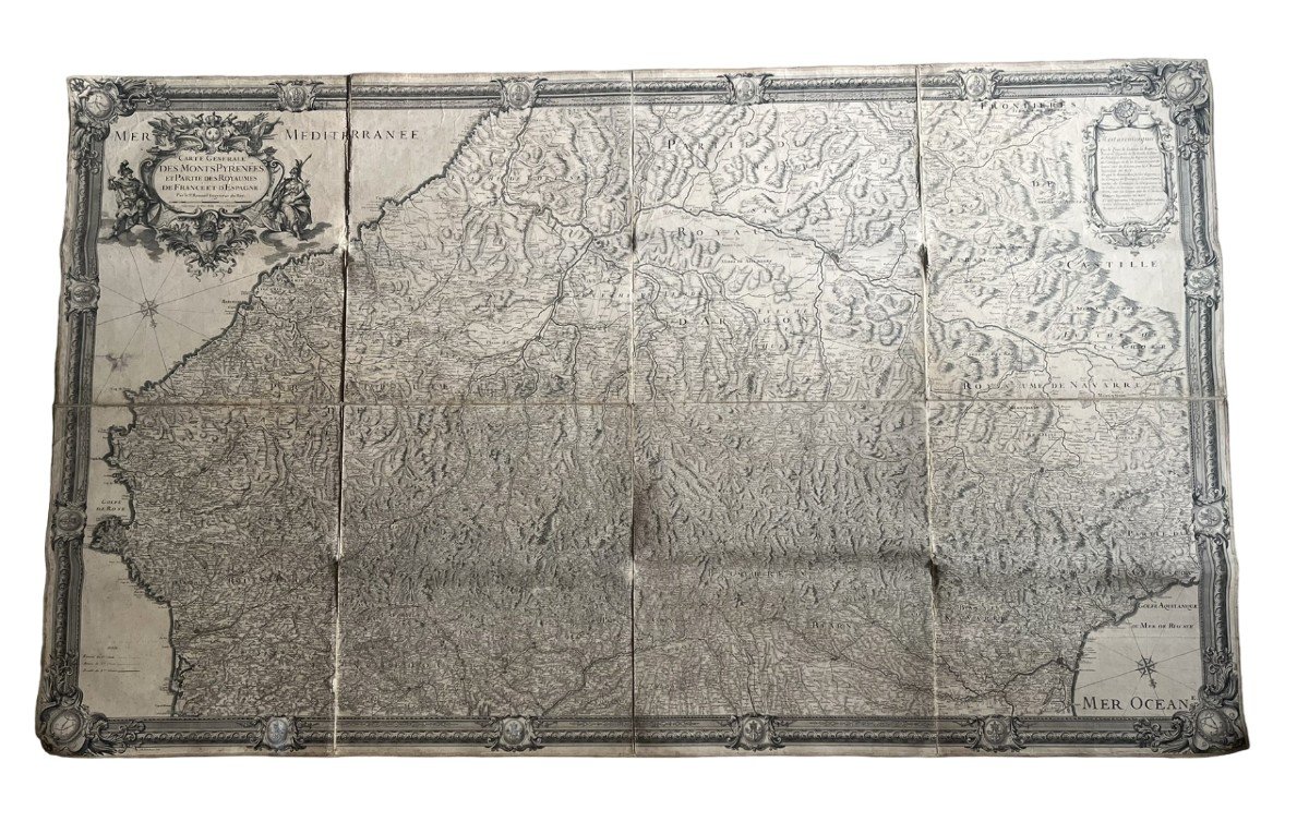
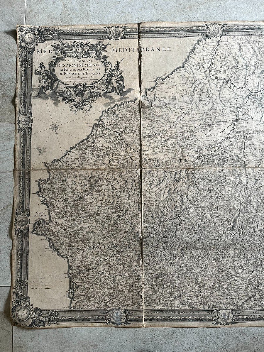
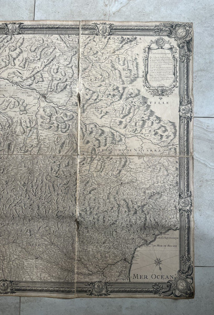
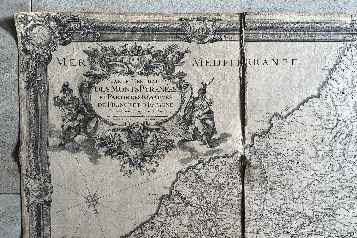
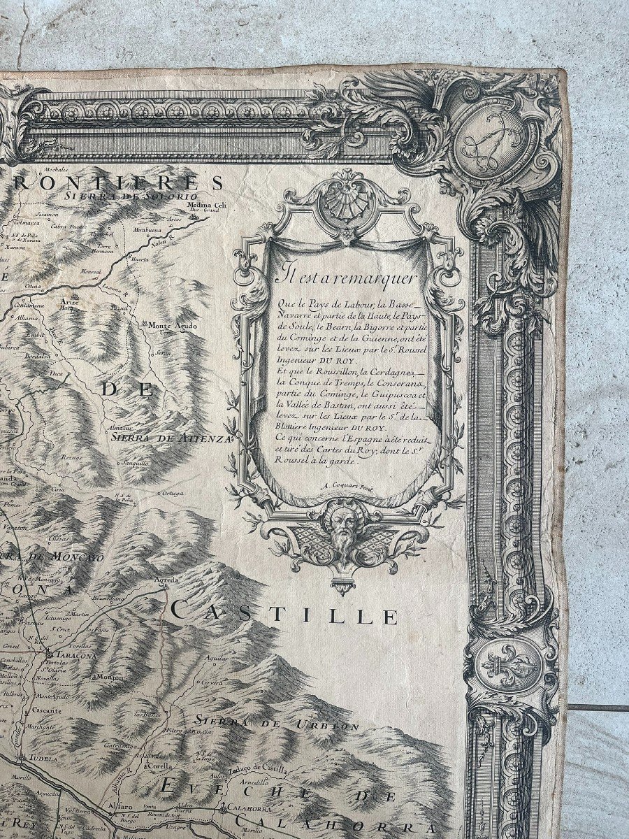
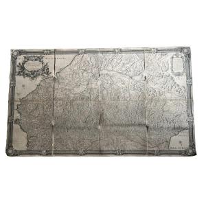
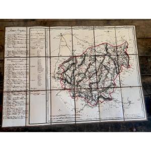
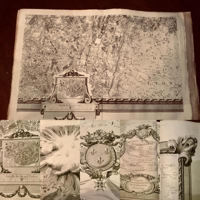
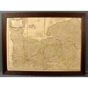
"Huge 18th Century Map Of The Pyrenees Mountains And Part Of The Kingdoms Of France & Spain"
Huge 18th Century Map (1730) Of The Pyrenees Mountains And Part Of The Kingdoms Of France & Spain By Antoine Coquart (16..-17..) and Roussel (king's engineer, 16..-1733) Canvased at the Bel period condition Dimensions: 112.5 x 189.5 cm
Price: 1 500 €
credit
Artist: Roussel
Period: 18th century
Style: Louis 16th, Directory
Condition: Good condition

Material: Paper
Width: 189,5 cm
Height: 112,5 cm

Reference: 1302430
line

"Camille Baroux" See more objects from this dealer

line

"Old Maps, Louis 16th, Directory"

More objects on Proantic.com
Subscribe to newsletter
line
facebook
pinterest
instagram
Camille Baroux
Paintings, old drawings and objects of curiosity
Huge 18th Century Map Of The Pyrenees Mountains And Part Of The Kingdoms Of France & Spain
1302430-main-65f827e2176b4.jpg

0698994213


*We will send you a confirmation email from info@proantic.com Please check your messages, including the spam folder.

Thank you! Your submission has been received!

Oops! Something went wrong while submitting the form