this object was sold
line

Framed Map, 18th Century Watercolor Of The Holy Land, Israel, Palestine

Sold
Framed Map, 18th Century Watercolor Of The Holy Land, Israel, Palestine
pictures.

Object description :

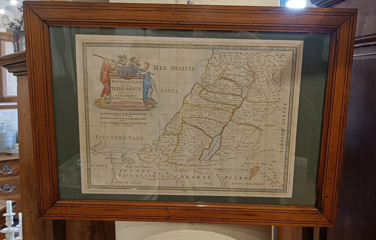
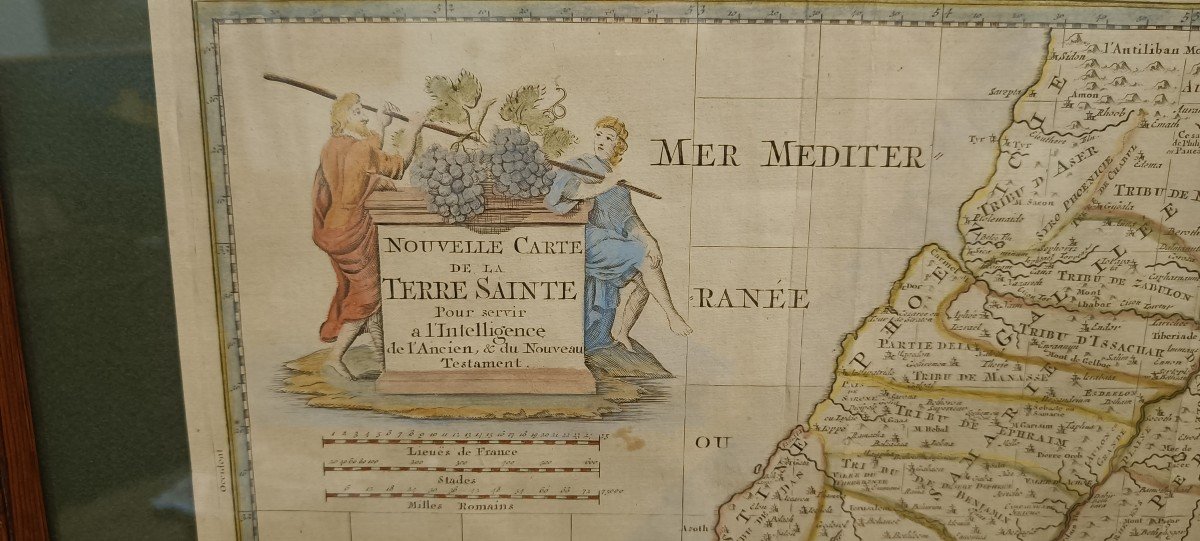
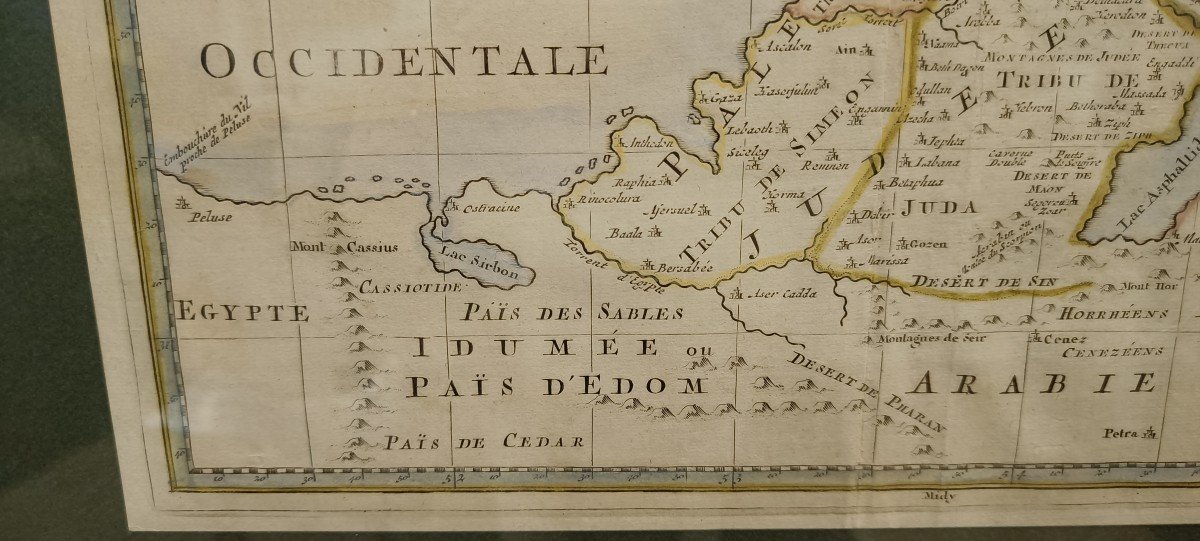
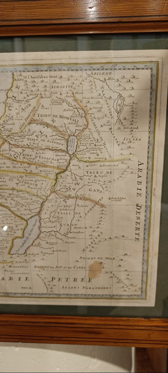
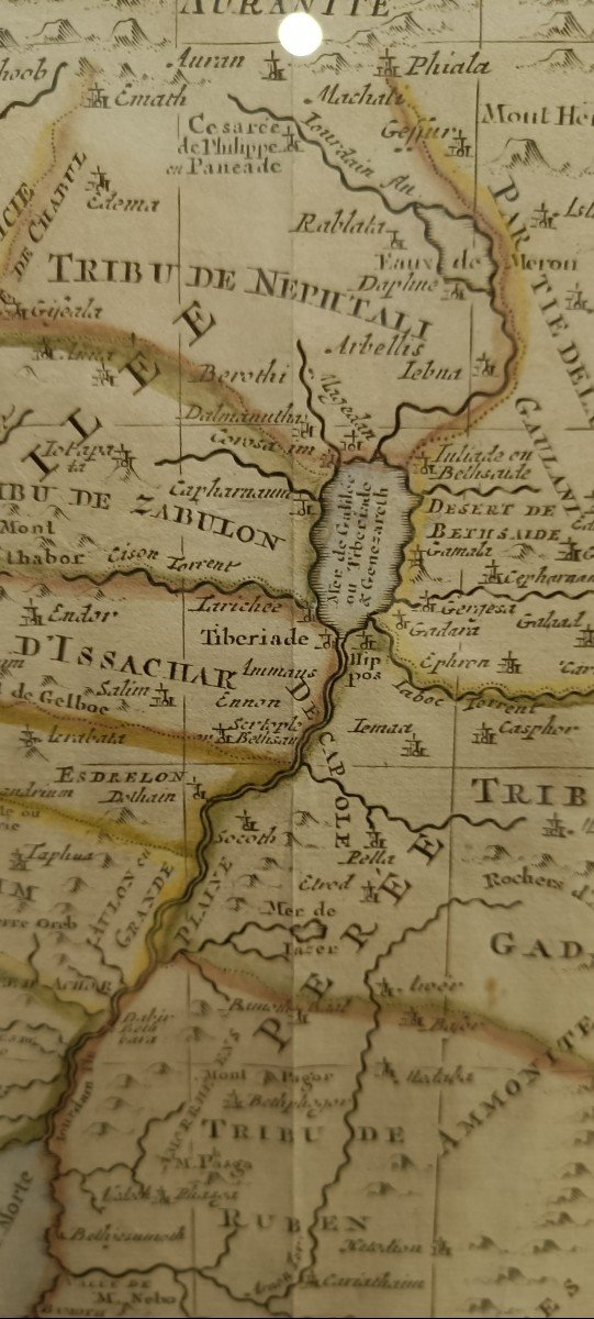
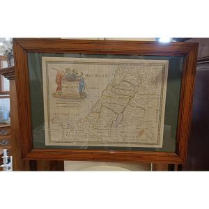
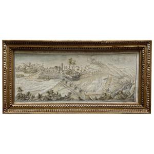
"Framed Map, 18th Century Watercolor Of The Holy Land, Israel, Palestine"
Pretty framed and watercolored map from the 18th century representing the "New Map of the Holy Land to serve the understanding of the Old and New Testaments" with the position of the 12 tribes of Israel, the emblematic places of the old and new new Testament. Beautiful Pitchpin frame 55 cm x 39 cm

View more from this dealer

View more - Old Maps

Contact Dealer
Subscribe to newsletter
line
facebook
pinterest
instagram

KRON Frédéric Antiquités
Mobilier 18ème 19ème, Marine

Framed Map, 18th Century Watercolor Of The Holy Land, Israel, Palestine
1330355-main-6633c3f64d0f0.jpg
06 13 50 19 76


*We will send you a confirmation email from info@proantic.com Please check your messages, including the spam folder.

Thank you! Your submission has been received!

Oops! Something went wrong while submitting the form