
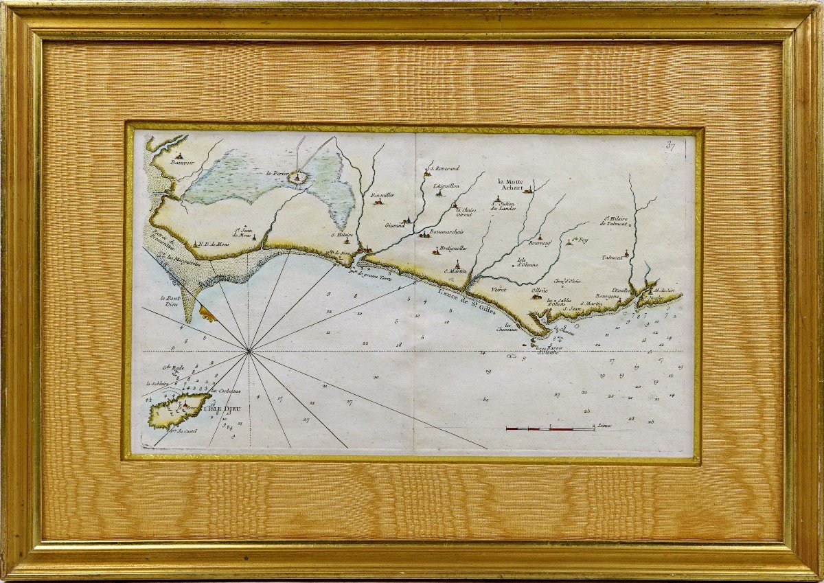

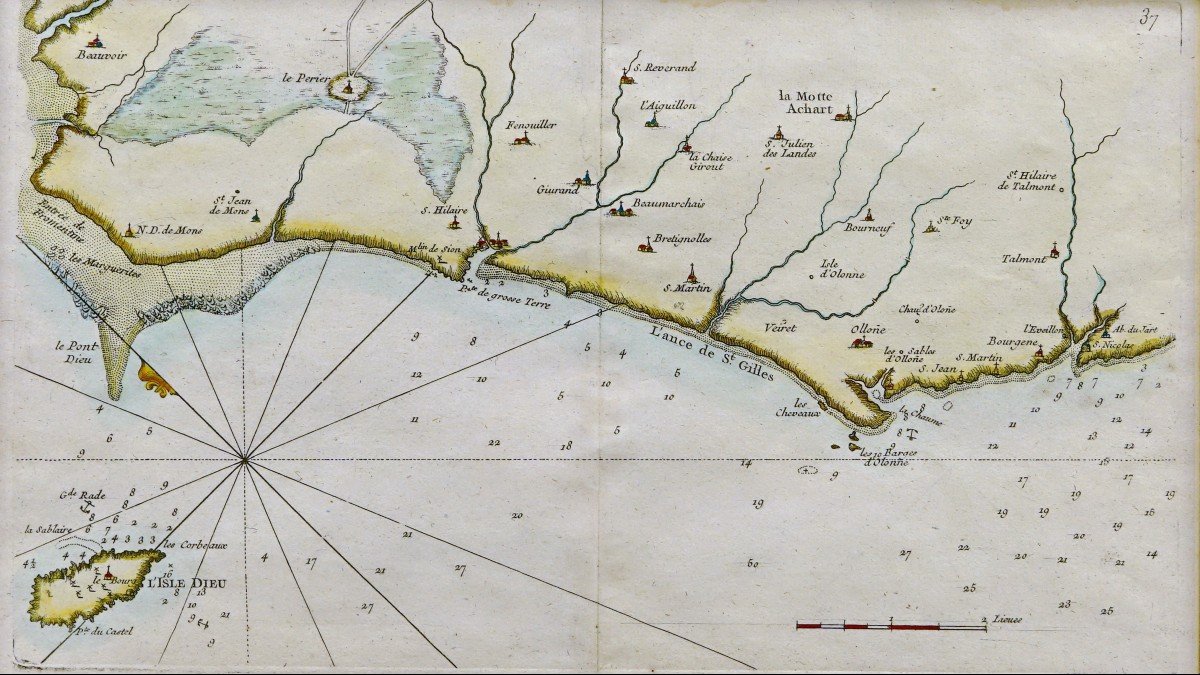

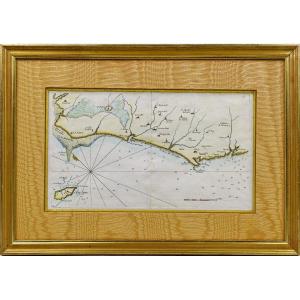


"Rare Engraving Marine Map Of Vendée - No. 27 - Beauvoir - Isle d'Yeu - Saint Hilaire - Les Sa"
RARE NAVY MAP of VENDÉE - No. 27 - BEAUVOIR - L'ISLE D'YEU - SAINT HILAIRE - LES SABLES D'OLONNE - SAINT NICOLAS - Ep. 18th Original proof made in 1757 by Georges Louis Le ROUGE cartographer. Taken from the “Recueil des Cotes Maritimes de France” published by Desnos. With the half fleur-de-lis indicating the North, the depth of the waters near the rocks, the woods, the watercourses, the reliefs... Particularly detailed coastal survey, on the scale of 2 half-leagues, carried out by George the Red, military engineer of fortifications and geographer to King Louis XV. He was also military engineer to the Count of Clermont, engraver, publisher and print dealer. Beautiful hand watercolored colors. Dimension(s): Framing: Length. 47.5 cm – High. 34 cm - Width. Baguette: 3 cm, Condition(s): PERFECT CONDITION, Period: 18th century, Framing: CURRENT - Old gold beveled fillet - Marie-Louise in light ocher-orange moire - Wooden baguette, water gilding in aged gold, PAYMENT and TRANSPORT PAYMENTS ACCEPTED via PAYPAL / LYDIA / CB in VAD (distance selling) or by CHECK PACKAGES WILL BE POSTED WITHIN 3 DAYS. COMBINED SHIPPING POSSIBLE IF MULTIPLE ITEMS PURCHASED. 


 Le Magazine de PROANTIC
 TRÉSORS Magazine
 Rivista Artiquariato