Map Of The City Of Lima, 18th Century Engraving flag

Map Of The City Of Lima, 18th Century Engraving
Map Of The City Of Lima, 18th Century Engraving-photo-2
Map Of The City Of Lima, 18th Century Engraving-photo-3

1351067-main-6661ba3456a45.jpg 1351067-6661ba49dc106.jpg 1351067-6661ba4a04d0c.jpg

Object description :

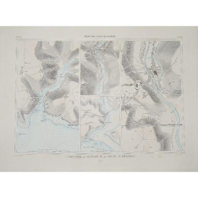
"Map Of The City Of Lima, 18th Century Engraving"
Map of the city of Lima or the Kings, Capital of Peru.
18th century engraving.
Sunstroke.
32 x 43 cm

Sending by Colissimo with signature.
Careful packaging.

Unless otherwise indicated, objects published on Proantic are not exhibited at the Saint-Ouen flea market.
However, you can collect your purchases from our stand at the Jules Vallès Market by asking us.
Price: 80 €
credit
Period: 19th century
Style: Other Style
Condition: Condition of use

Material: Paper
Width: 43 cm
Height: 32 cm

Reference: 1351067
line

"Vue d'optique" See more objects from this dealer

line

"Old Maps, Other Style"

More objects on Proantic.com
Subscribe to newsletter
line
facebook
pinterest
instagram
Vue d'optique
Tableaux, dessins, estampes
Map Of The City Of Lima, 18th Century Engraving
1351067-main-6661ba3456a45.jpg

0670072302


*We will send you a confirmation email from info@proantic.com Please check your messages, including the spam folder.

Thank you! Your submission has been received!

Oops! Something went wrong while submitting the form