Rare Marine Map Engraving - Plan Of The Bay Of Villefranche Sur Mer - Ep. flag


1353278-main-666707ad24909.jpg 1353278-6667079d5e079.jpg 1353278-6667079d8a136.jpg 1353278-6667079d9f413.jpg

Object description :

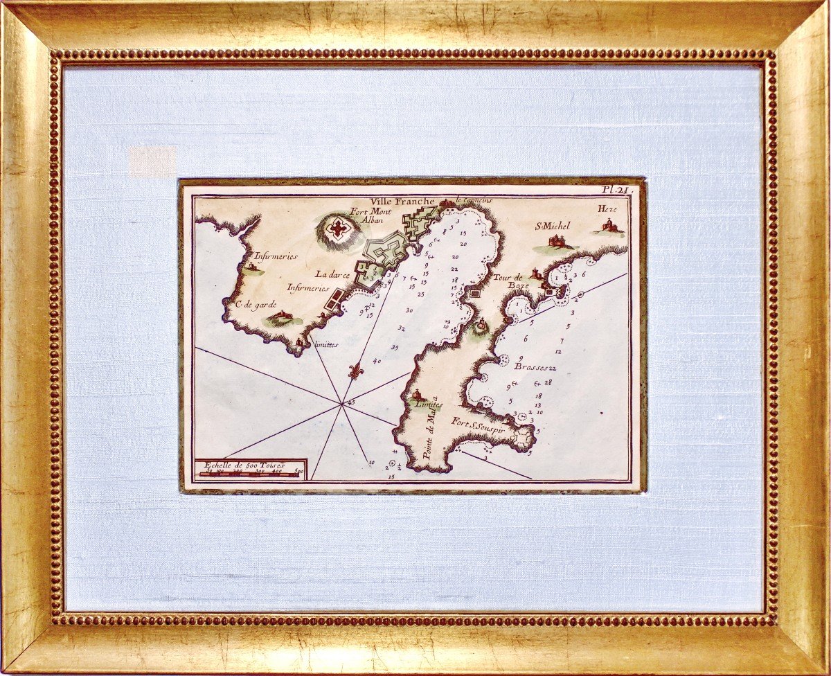
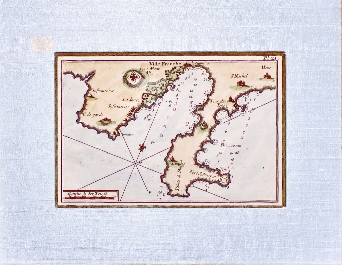
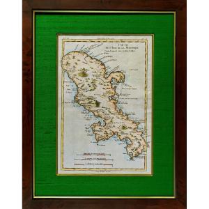
"Rare Marine Map Engraving - Plan Of The Bay Of Villefranche Sur Mer - Ep."
Original engraving on steel with a chisel and watermarked laid paper. Engraved by ROUX Antoine or Joseph Ange Antoine, (French -1765-1835). Marine painter. Hand watercolored. Dimensions: High. 29.5 cm – Length. 36 cm -Width. of the Baguette: 2.7 cm, Condition(s): PERFECT CONDITION, Period: 18th century (Circa 1770), Framing: CURRENT - Gold bevel - Marie-Louise in white silk - Wooden Baguette, aged water gilding . PAYMENT and TRANSPORT PAYMENTS ACCEPTED via PAYPAL / LYDIA / CB by VAD (distance selling) or by CHECK PACKAGES WILL BE POSTED WITHIN 3 DAYS. COMBINED SHIPPING POSSIBLE IF MULTIPLE ITEMS PURCHASED.
Price: 330 €
credit
Artist: Roux Antoine Ou Joseph Ange Antoine
Period: 18th century
Style: Louis 16th, Directory
Condition: Perfect condition

Material: Paper
Length: 36 cm
Height: 29.5 cm

Reference: 1353278
Contact Dealer
line

"LA METAIRIE" See more objects from this dealer

line

"Old Maps, Louis 16th, Directory"

More objects on Proantic.com
Subscribe to newsletter
line
facebook
pinterest
instagram
LA METAIRIE
French porcelain of 1700 / 1820
Rare Marine Map Engraving - Plan Of The Bay Of Villefranche Sur Mer - Ep.
1353278-main-666707ad24909.jpg
00 33 (0)6 68 23 93 30


*We will send you a confirmation email from info@proantic.com Please check your messages, including the spam folder.

Thank you! Your submission has been received!

Oops! Something went wrong while submitting the form