


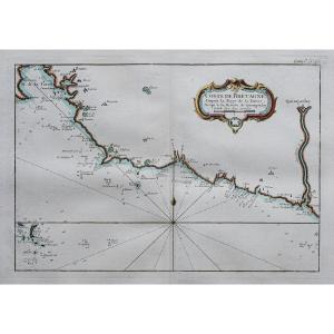
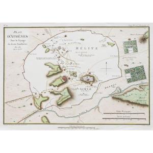
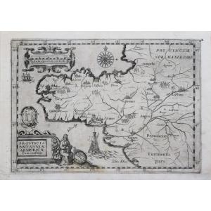
"Old Nautical Chart – Port Of Trouville"
Epreuve originale réalisée en 1875.Impression en couleurs.
Très bon état.
Format feuille : 65 x 49 cm.
Original antique chart of 1875.
Rare collection illustrant les ports de France.
Institution qui modèle le littoral français (1667 – 2000), dans la tradition des Neptune français.
Vous pouvez consulter l’ensemble des cartes et gravures disponibles sur votre région en cliquant sur le lien de notre site internet spécialisé en archives anciennes géographiques :
https://cartes-livres-anciens.com/categorie-produit/cartes-geographiques-anciennes-original-antique-maps/france/normandie/
Règlement sécurisé par carte bancaire sur notre site internet en cliquant sur le lien :
https://cartes-livres-anciens.com/produit/cartes-geographiques-anciennes-original-antique-maps/france/normandie/carte-marine-ancienne-port-de-trouville/
Toutes nos cartes et gravures sont accompagnées d’un certificat d’authenticité.
Original proof made in 1875. Color printing. Very good condition. Sheet size: 65 x 49 cm. Original antique chart of 1875. Rare collection illustrating the ports of France. Institution that models the French coastline (1667 – 2000), in the tradition of the French Neptunes. You can consult all the maps and engravings available in your region by clicking on the link to our website specializing in old geographical archives: https://cartes-livres-anciens.com/categorie-produit/cartes-geographiques-anciennes-original-antique-maps/france/normandie/ Secure payment by credit card on our website by clicking on the link: https://cartes-livres-anciens.com/produit/cartes-geographiques-anciennes-original-antique-maps/france/normandie/carte-marine-ancienne-port-de-trouville/ All our maps and engravings are accompanied by a certificate of authenticity.


 Le Magazine de PROANTIC
 TRÉSORS Magazine
 Rivista Artiquariato