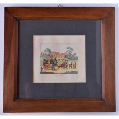
Beaux coloris aquarelle.
Très bon état.
Format feuille : 47,5 x 33 cm.
Original antique engraving of 1845.
Thomas Allom, né le 13 mars 1804 à Lambeth (au sud de Londres), mort le 21 août 1872 à Barnes (à l’ouest de Londres), est un peintre, illustrateur et architecte anglais.
Belle épreuve imprimée à Londres, légendée en français, anglais et allemand.
Vous pouvez consulter l’ensemble des cartes, livres et gravures disponibles sur votre région en cliquant sur le lien de notre site internet spécialisé en archives anciennes géographiques :
https://cartes-livres-anciens.com/categorie-produit/cartes-geographiques-anciennes-original-antique-maps/france/centre-val-de-loire/
Règlement sécurisé par carte bancaire sur notre site internet en cliquant sur le lien ci-dessous :
https://cartes-livres-anciens.com/produit/cartes-geographiques-anciennes-original-antique-maps/france/centre-val-de-loire/gravure-ancienne-du-chateau-de-blois/
Toutes nos cartes et gravures sont accompagnées d’un certificat d’authenticité.
Infatigable voyageur, Il sera particulièrement apprécié pour l’exactitude de ses dessins et gravures topographiques. Dès les années 1820, il dessinera les principales villes et lieux touristiques du Royaume-Uni, de l’Europe, de la France, Suisse, Savoie puis le Moyen-Orient et Extrême-Orient. En 1834 il arrive à Istanbul, puis traversa l’Anatolie pour, terminer son périple en Syrie et Palestine.
Original proof made around 1845. T. Allom designer. Beautiful watercolor colors. Very good condition. Sheet size: 47.5 x 33 cm. Original antique engraving of 1845. Thomas Allom, born March 13, 1804 in Lambeth (south of London), died August 21, 1872 in Barnes (west of London), is an English painter, illustrator and architect. Beautiful proof printed in London, captioned in French, English and German. You can view all the maps, books and engravings available in your region by clicking on the link to our website specializing in old geographical archives: https://cartes-livres-anciens.com/categorie-produit/cartes-geographiques-anciennes-original-antique-maps/france/centre-val-de-loire/ Secure payment by credit card on our website by clicking on the link below: https://cartes-livres-anciens.com/produit/cartes-geographiques-anciennes-original-antique-maps/france/centre-val-de-loire/gravure-ancienne-du-chateau-de-blois/ All our maps and engravings are accompanied by a certificate of authenticity. A tireless traveler, he will be particularly appreciated for the accuracy of his topographical drawings and engravings. From the 1820s, he drew the main cities and tourist sites of the United Kingdom, Europe, France, Switzerland, Savoy and then the Middle East and the Far East. In 1834 he arrived in Istanbul, then crossed Anatolia to end his journey in Syria and Palestine.







 Le Magazine de PROANTIC
 TRÉSORS Magazine
 Rivista Artiquariato
