


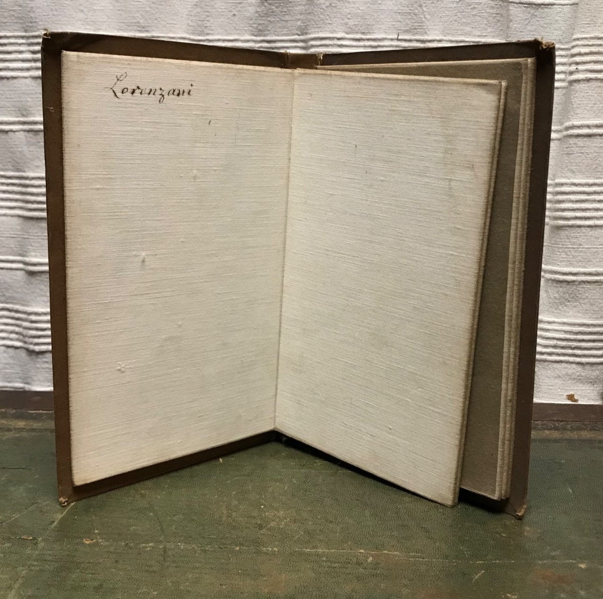
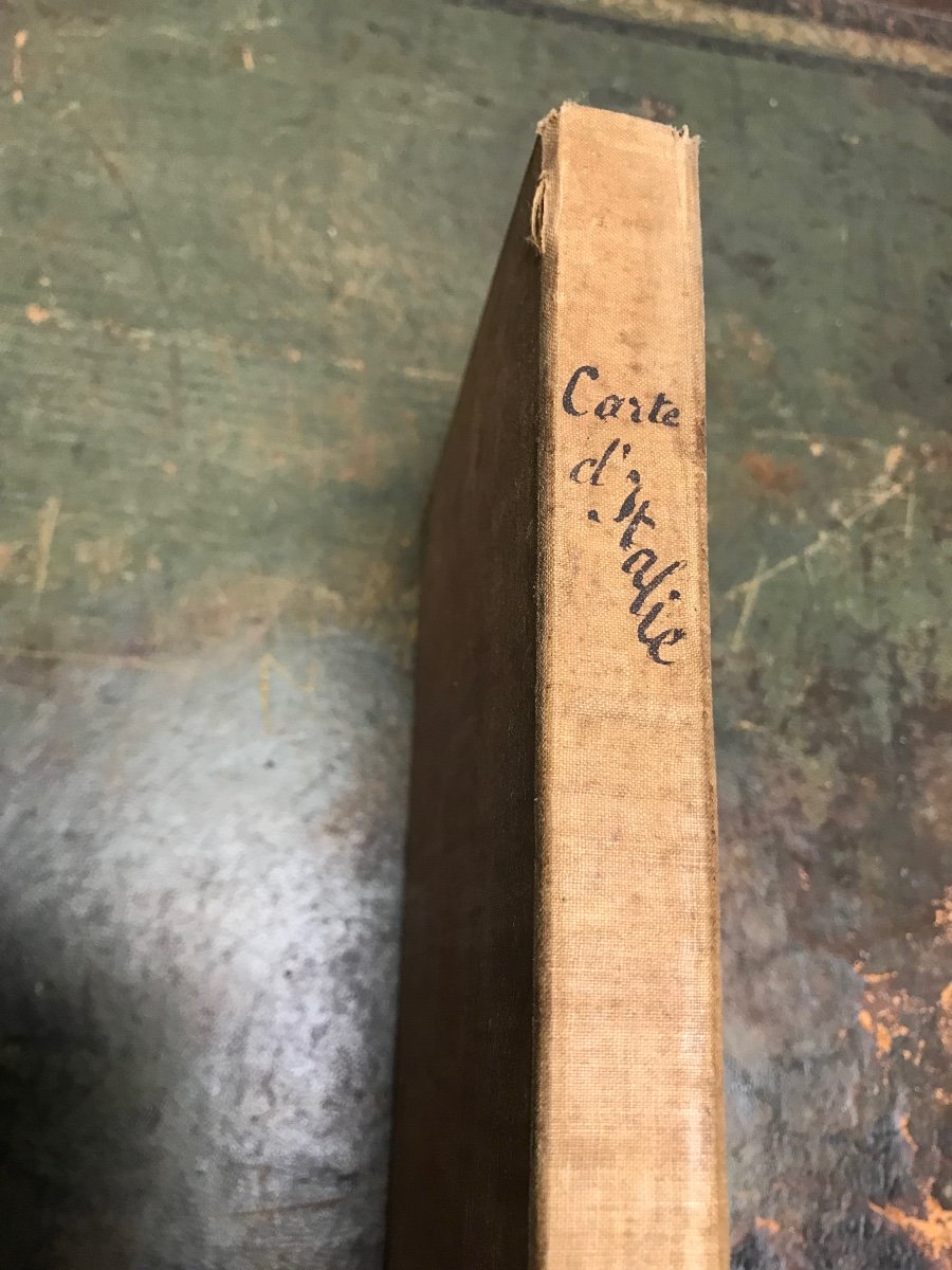


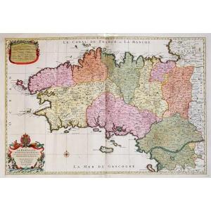
"Map Of Italy, Italia Antiquae Et Novae, By Cramer, 1825"
Antiquae and Novae map of Italy published in London in 1825. Entirely canvassed in two parts, North and South, this map is bilingual. The ancient places are associated with Italian names in order to guide tourists in their peregrinations. Its practical format, glued on a linen canvas to facilitate folding and mounted in a canvas binding, made it an indispensable tool. The whole is refined with very harmonious period handcolored highlights.In very good condition, without restorations, entirely period. The name Loranzani is written in pen inside.
Dimensions of each board 78x64cm Cardboard 23.5cmx14.5cm


 Le Magazine de PROANTIC
 TRÉSORS Magazine
 Rivista Artiquariato