
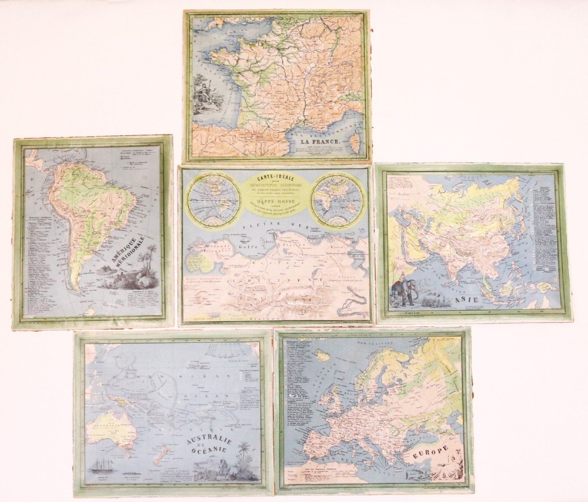


"Ravenstein - 6 Relief Maps - C. 1860"
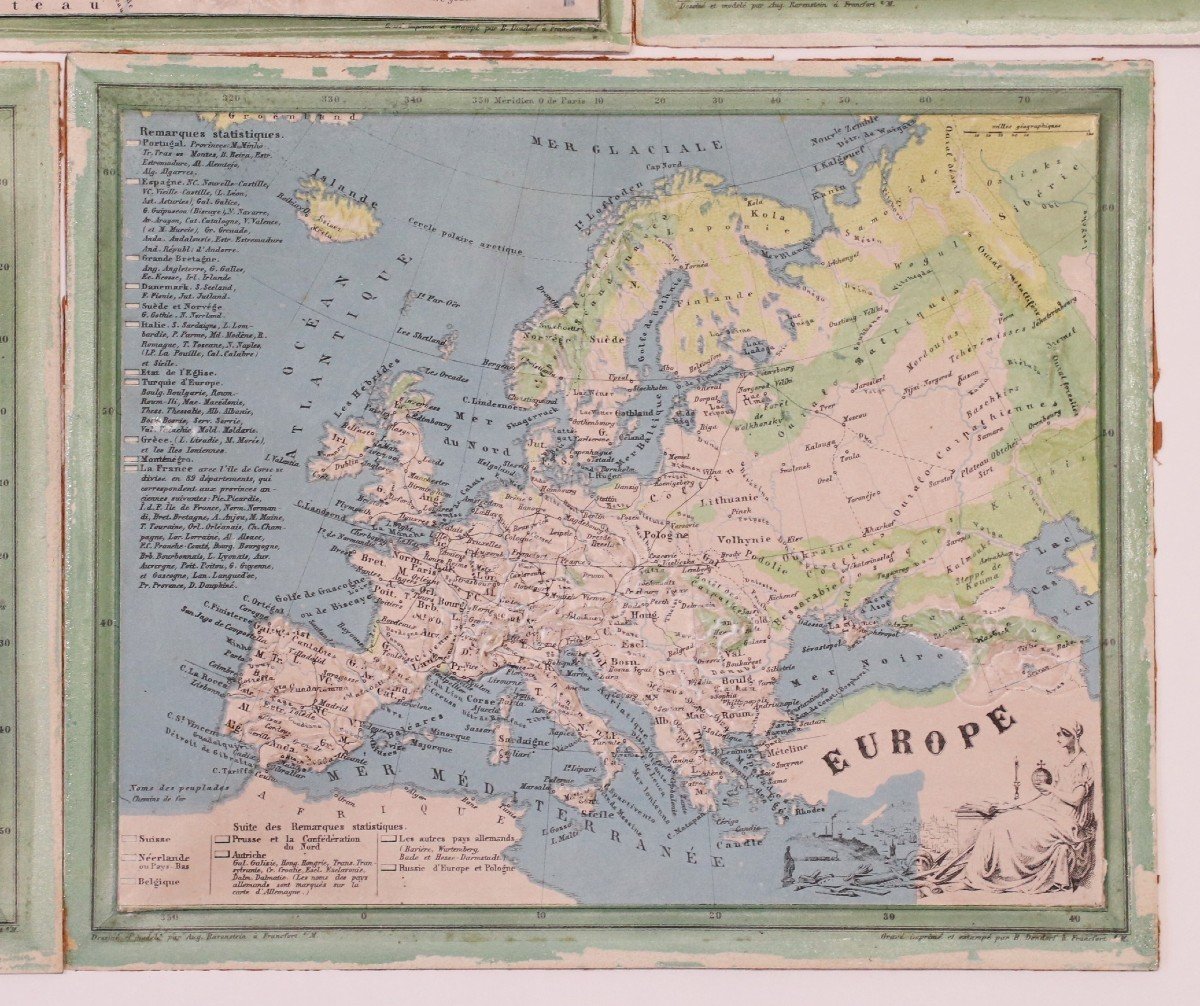
RAVENSTEIN (August) [Geographical Atlas for Primary Education] - 6 relief maps Set of 6 relief maps for educational use and for the visually impaired. The complete edition consisted of eight relief maps and eight normal maps. We keep "The Ideal Map" representing two small planispheres and consisting of explanatory models in relief, a map of France, a map of Europe, a map of South America, a map of Asia and a Map of Australia and Oceania. The maps of North America and Africa are missing. All maps marked "Drawn and modeled by Aug. Ravenstein in Frankfurt" and "engraved, printed and stamped by B. Dondorf in Frankfurt". There are several French editions and several German editions published between the late 1840s and 1870s, our series can be dated to the 1860s. August Ravenstein's relief geography atlas is the first set of relief maps ever marketed for strictly educational purposes, a milestone in the history of modern cartography and the teaching of geography through images. Missing the edges of the plates and some scratches to the highest reliefs, otherwise good general condition. 


 Le Magazine de PROANTIC
 TRÉSORS Magazine
 Rivista Artiquariato