


"Composite Atlas Of Geographic Maps"
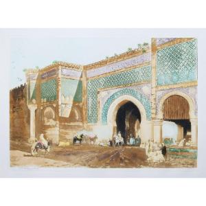
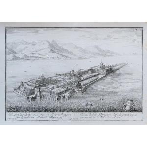
Composite Atlas most certainly done late 19th century, early 20th century.Large folio: 56, 5 x 43 cm. Full red sheepskin, decorated back, flat decorated with a large title in gold letter: Mapas Antiguos, binding with some friction but in very good condition. 27 cards in very beautiful colors of the time. Various restorations on the back of the cards, some small wettings in the margins, very suitable state for this atlas of charm. The atlas was numbered from 1 to 31. The maps with some restorations and consolidations present a choice starting with large historical paintings followed by maps of Ile de France, France, Europe and another section on Normandy and finally on the Greater Flanders. Other photos on request
Règlement sécurisé par carte bancaire sur notre site internet en cliquant sur le lien :
https://cartes-livres-anciens.com/produit/livres/atlas-livres/atlas-composite-de-cartes-geographiques/
Table of Cards
1: The Key of the trade: cities of France and Europe, late 18th century, margin restored, colors
2: Historical game of France until Louis XIV, 18th century, consolidation , colors
3: Geological table of the state of the globe at its different ages, 1852, colors
4: History of France in paintings, 1832, colors
5: Geographical table and statistics of France. Distance from cities to Paris, appeared since 1830, colors
6: World map, year VI, at Chanlaire, color, colors
7: Surroundings of Paris to Paris at Jean, around 1800, colors
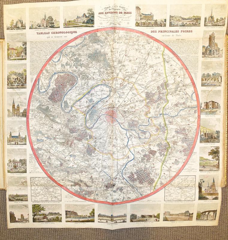
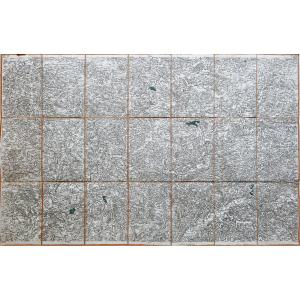
8: Paris surroundings map with figures, large in plano , folded, 1833, colors
9: Table of Europe with legend, 1775, colors
10: Europe, Cassini, 1783, spot in the margin, colors,
11: Europe, at Dezauche cartographer, 1816, colors
12 : France in governments, Cassini, 1782, colors
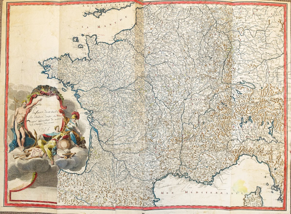
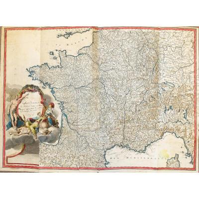
13: France in all its extent, drawn up by the members of the Academy, large in plano folded, cartridge manuscript, 1756. Superb potamographic map (survey of rivers) with handwritten legends in the margins and the sea, colors
14: France, Guillaume de Lisle, at Buache, 1788, colors
15: France electoral and administrative, at Vivien, 1823, colors
16: France mineralogical, 1789, colors
17: France ecclesiastical , 1789, colors
18: Normandy, Nicolas de Fer , 1710, large restoration with lack of paper, colors
19: Orne (department of), 1790, old wetting, colors
20: Maine, Anjou, Touraine, Beauce, Sologne, Perche, Vendomois, Dunois, Blaisois, Orléanais, country Chartrain, Nicolas de Fer cartographer, circa 1720, colors
21: Maritime map of the coasts of France and part of those of Spain, at Huc, 1779, colors
22: Netherlands catholic and low Germany, half map large in plano, at Desnos cartographer, 1766, colors
23: Catholic Netherlands, at Dezauche, 1780, colors
24: Netherlands catholic known as Flanders, Nolin cartographer, 1756, colors, uniform brown spots, colors
25: Netherlands ( United Provinces of), Dezauche, 1780, wetness in the margin, colors
26: Alsace, Obave, Marquisat of Baden, passages of the mountains and black forests, at Danet, Nicolas de Fer, around 1760, colors
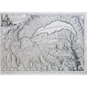
27: Piedmont, Nice, Montferrat Large map half in-plane, Jaillot cartographer, circa 1690, colors


 Le Magazine de PROANTIC
 TRÉSORS Magazine
 Rivista Artiquariato