
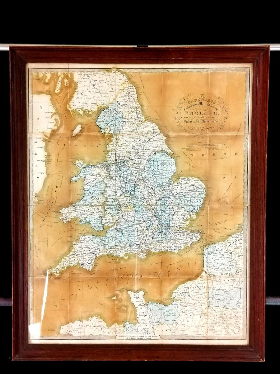

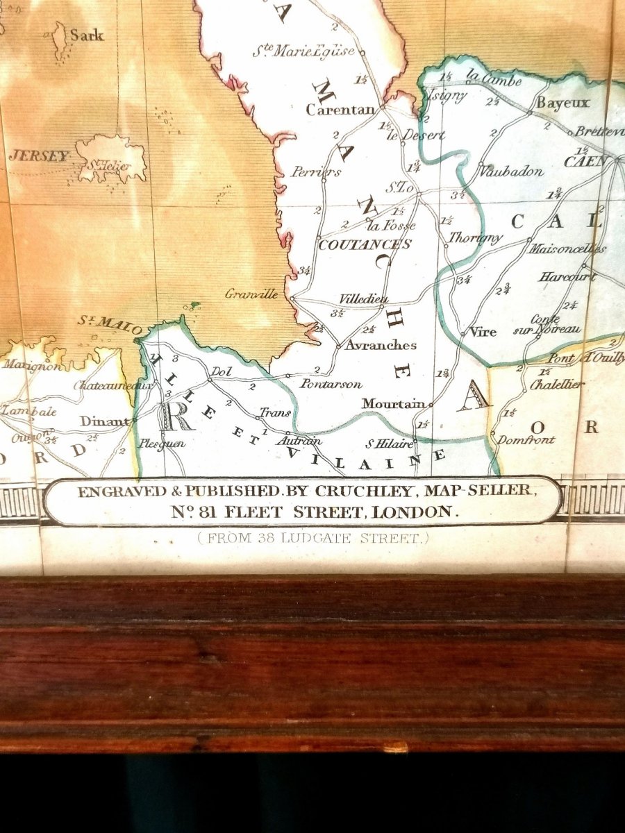


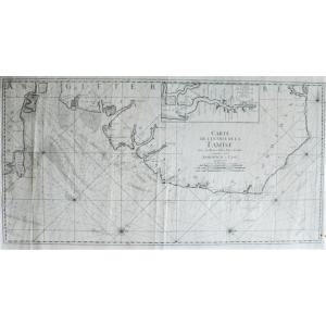
"English Card Cruchley XIXth Century"
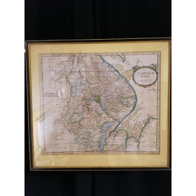
Cruchley's new map and travel itinerary compiling all of England, with part of Scotland and Ireland and part of France and the Netherlands ... ", by Cruchley and George Frederick. Map dating from 1839. Card framed under glass in very good condition, original framing dimensions: frame: 72x58cm card: 63.5x51.3cm 


 Le Magazine de PROANTIC
 TRÉSORS Magazine
 Rivista Artiquariato