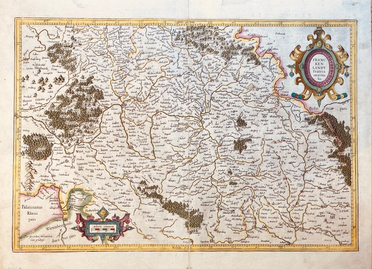
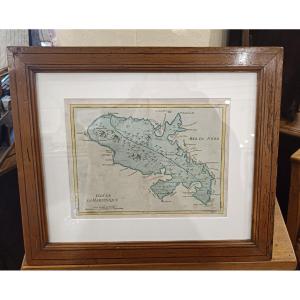
17th Century Card From Mercator: Franckenlandt. Francia Orientalis. flag

17th Century Card From Mercator: Franckenlandt. Francia Orientalis.
17th Century Card From Mercator: Franckenlandt. Francia Orientalis.-photo-2

787265-main-60bf4d3f7e63c.jpg 787265-60bf4d5cd3bff.jpg

Object description :

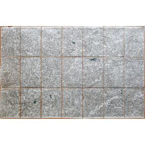
"17th Century Card From Mercator: Franckenlandt. Francia Orientalis."
Map showing Franconia with the region of Heidelberg, Eichstätt, Cham and Schmalkalden.
circa 1627
Copper engraving in old color.
On the back, description in Latin.

Mercator, writer, astronomer and mathematician is considered the inventor of the cartographic projection which bears his name and his atlases established his fame. Mercator's sons and grandsons, all cartographers, continued his work and made various contributions to his atlas. The brass cards were bought in 1604 by Jodocus Hondius who, along with his sons, Jodocus II and Henricus, published expanded editions which dominated the card market for the next two decades.

Copper: 338 x 500
Sheet: 400 x 545
Price: 180 €
Artist: Mercator Gerardus ( 1512-1594 )
Period: 17th century
Style: Other Style
Condition: Pli médian usuel renforcé, trois courtes déchirures dans les bonnes marges.

Width: 545 mm
Height: 400 mm

Reference: 787265
line

"galerie Maillard-Fouilleul" See more objects from this dealer

line

"Old Maps, Other Style"

More objects on Proantic.com
Subscribe to newsletter
line
facebook
pinterest
instagram
galerie Maillard-Fouilleul
Old and modern Prints, Drawings
17th Century Card From Mercator: Franckenlandt. Francia Orientalis.
787265-main-60bf4d3f7e63c.jpg

0142465320


*We will send you a confirmation email from info@proantic.com Please check your messages, including the spam folder.

Thank you! Your submission has been received!

Oops! Something went wrong while submitting the form