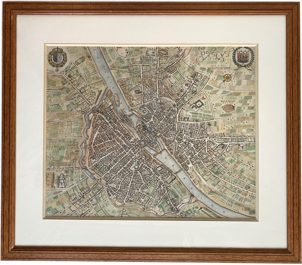
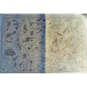
Parys, Anno 1654
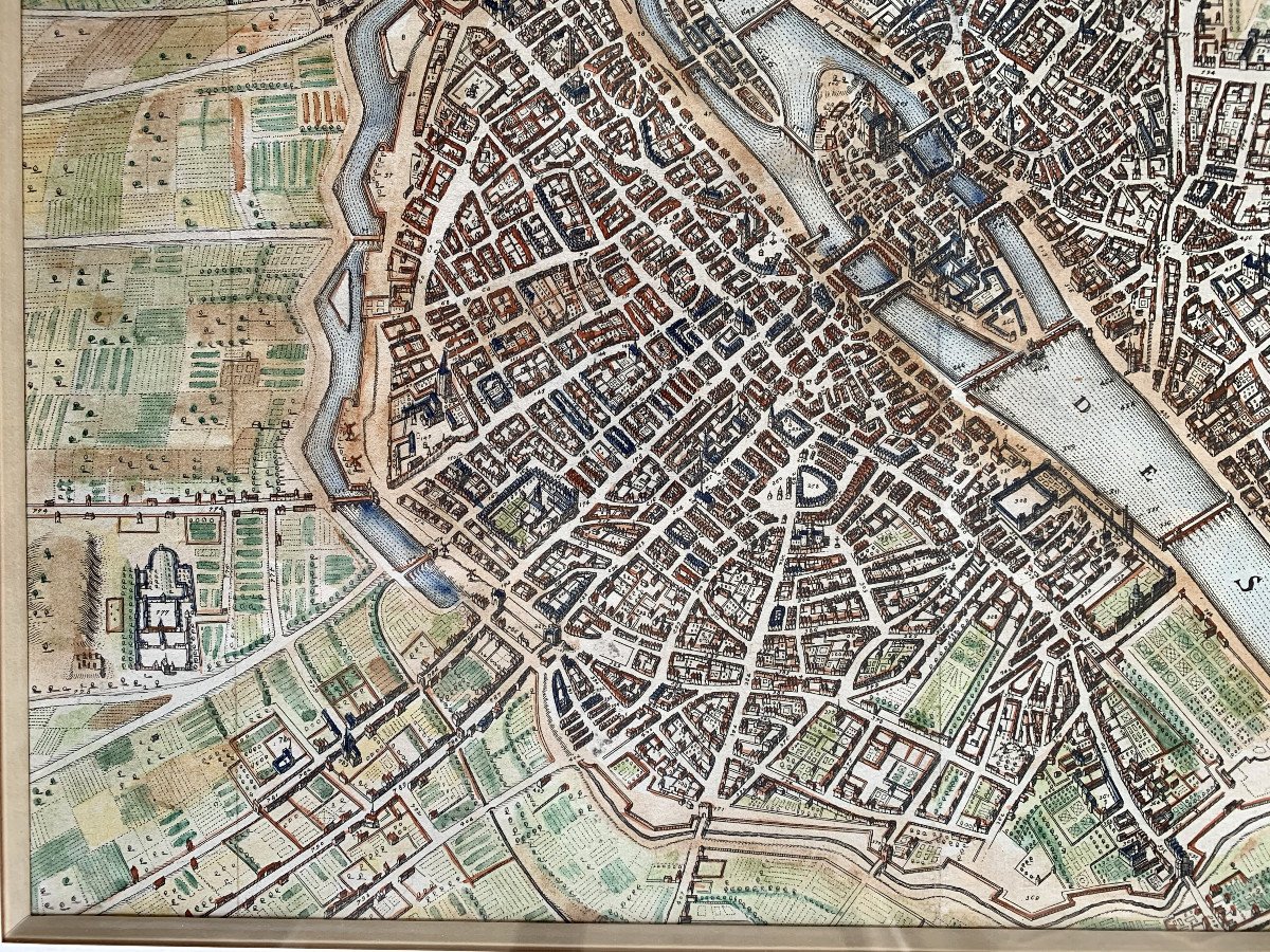
Enhanced engraving
Pitchwood frame
Plan facing north at bottom left, offering an unusual view of the city, with the Seine forming a diagonal.
At the top left are the arms of France and Navarre, and on the right, those of Paris.
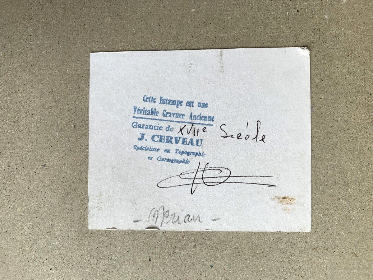
Published in Martin Zeiller's Topographia Galliæ, by Caspar Merian, this plan follows the pattern of the one published by Boisseau in 1648. (Boutier, 89).
Format (view): 33.5 x 41 cm
Format (frame): 50.5 x 58 cm
















 Le Magazine de PROANTIC
 TRÉSORS Magazine
 Rivista Artiquariato