
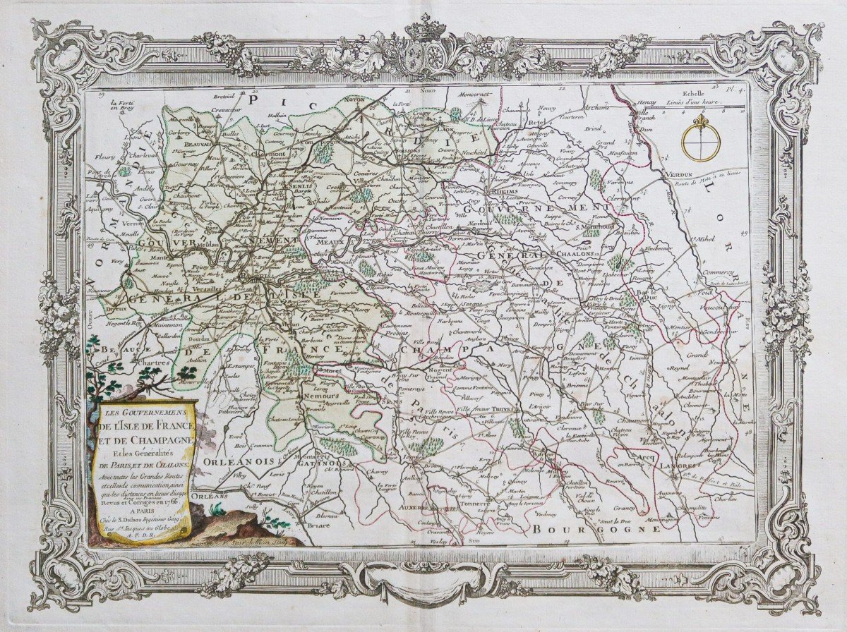
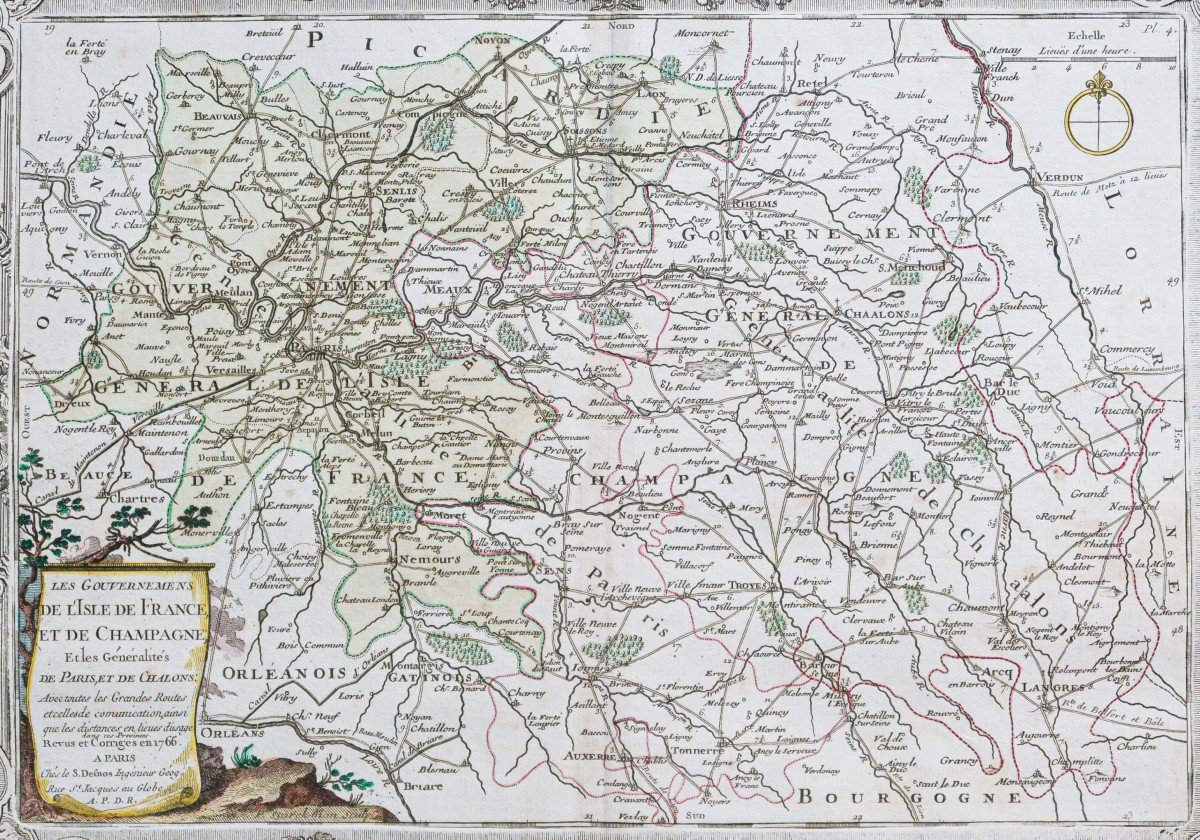

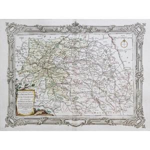


"Old Geographic Map Of Ile De France"
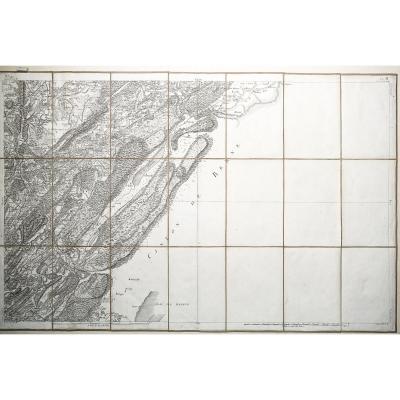
Les gouvernements de l’Ile de France et de la Champagne, et les généralités de Paris et de Chalons.Epreuve originale réalisée en 1766. Desnos cartographe.
Petites rousseurs dans les marges n’atteignant pas la carte.
Beaux coloris aquarelle.
Format feuille: 53 x 40 cm.
Format cuivre: 44 x 33 cm.
Original antique map of 1766.
Avec toutes les grandes routes et celles de communication, ainsi que les distances en lieues d’usage dans ces provinces.
Carte particulièrement décorative embellie d’une frise d’encadrement gravée aux Armes de France. Cartouche de titre aquarellé.
Vous pouvez consulter l’ensemble des cartes et gravures disponibles sur votre région en cliquant sur le lien de notre site internet spécialisé en archives anciennes géographiques:
https://cartes-livres-anciens.com/categorie-produit/cartes-geographiques-anciennes-original-antique-maps/france/ile-de-france-cartes-geographiques/
Règlement sécurisé par carte bancaire sur notre site internet en cliquant sur le lien:
https://cartes-livres-anciens.com/produit/cartes-geographiques-anciennes-original-antique-maps/france/champagne/carte-geographique-ancienne-de-lile-de-france/
Toutes nos cartes et gravures sont accompagnées d’un certificat d’authenticité.
The governments of Ile de France and Champagne, and the generalities of Paris and Chalons. Original proof made in 1766. Desnos cartographer. Small freckles in the margins not reaching the map. Beautiful watercolor colors. Sheet size: 53 x 40 cm. Copper format: 44 x 33 cm. Original antique map of 1766. With all the main roads and those of communication, as well as the distances in leagues of use in these provinces. Particularly decorative card embellished with a framing frieze engraved with the Arms of France. Watercolored title cartridge. You can consult all the maps and engravings available in your region by clicking on the link of our website specializing in ancient geographic archives: https://cartes-livres-anciens.com/categorie-produit/cartes-geographique-anciennes -original-antique-maps / france / ile-de-france-carte-geographique / Secure payment by credit card on our website by clicking on the link: https://cartes-livres-anciens.com/produit/cartes- Geographical-Old-Original-Antique-Maps / France / Champagne / Carte-Geographique-Old-de-Lile-de-France / All our maps and engravings are accompanied by a certificate of authenticity.


 Le Magazine de PROANTIC
 TRÉSORS Magazine
 Rivista Artiquariato