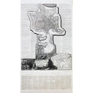
Pianta de Roma e del Campo Marzo.
Grande Epreuve originale réalisée en 1774. 1er tirage parisien. Eau-forte et burin.
Beau tirage gravée sur 3 feuillets joints à l’époque.
Petite consolidation sur un centimètre dans la numérotation de la table du numéro 26 à 34 au niveau de l’onglet.
Bon état.
Format feuille : 133 x 73 cm.
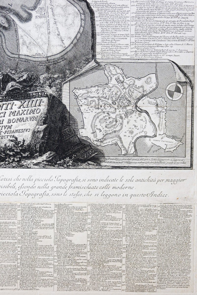
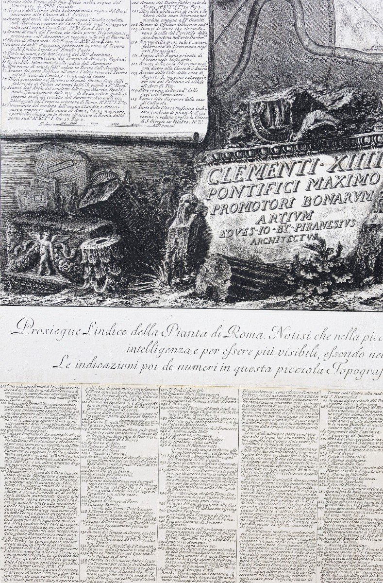
La carte principale a la particularité d’être conçue avec le sud placé en haut. Elle rend en trompe-l’œil l’effet d’être gravée dans la pierre, selon la manière qu’emploie Piranèse dans ses Antichità Romane,en hommage à l’ancienne Forma Urbis Romanae, immense carte gravée dans le marbre sous Septime Sévère (193-211 avant J.-C.). Sur la carte principale, on voit le mur d’Aurélien entourant la Rome du XVIIIe s., dont le territoire se prolonge au nord vers la porte del Popolo et le Campo Marzio. En bas à droite figure une carte plus petite qui montre les principaux monuments et lieux antiques de Rome. L’artiste a fait graver un index complet des 402 sites et édifices, qui sont ceux figurant par ailleurs dans ses publications telles que les Antichità Romane, Della MagnificenzaetCampo Marzio.
Vous pouvez consulter l’ensemble des cartes, livres et gravures disponibles sur votre région en cliquant sur le lien de notre site internet spécialisé en archives anciennes géographiques:
https://cartes-livres-anciens.com/categorie-produit/cartes-geographiques-anciennes-original-antique-maps/europe/italie/
Règlement sécurisé par carte bancaire sur notre site internet en cliquant sur le lien ci-dessous:
https://cartes-livres-anciens.com/produit/cartes-geographiques-anciennes-original-antique-maps/europe/italie/plan-de-rome-piranese/
Toutes nos cartes et gravures sont accompagnées d’un certificat d’authenticité.
Giambattista Piranesi (1720-1778) Pianta de Roma e del Campo Marzo. Large original proof produced in 1774. 1st Parisian printing. Etching and chisel. Beautiful edition engraved on 3 sheets joined at the time. Small consolidation on a centimeter in the numbering of the table from number 26 to 34 at the level of the tab. Good condition. Sheet size: 133 x 73 cm. The main map has the particularity of being designed with south placed at the top. It renders in trompe-l'oeil the effect of being engraved in stone, in the manner used by Piranesi in his Antichità Romane, in homage to the ancient Forma Urbis Romanae, an immense map engraved in marble under Septimius Severus. (193-211 BC). On the main map, we see the Aurelian Wall surrounding 18th century Rome, whose territory extends north towards the Porta del Popolo and Campo Marzio. At the bottom right is a smaller map that shows the main monuments and ancient places of Rome. The artist had engraved a complete index of the 402 sites and buildings, which are those appearing elsewhere in his publications such as Antichità Romane, Della Magnificenza and Campo Marzio. You can consult all the maps, books and engravings available in your region by clicking on the link of our website specializing in ancient geographical archives: https://cartes-livres-anciens.com/categorie-produit/cartes-geographiques -anciens-original-antique-maps/europe/italy/ Secure payment by credit card on our website by clicking on the link below: https://cartes-livres-anciens.com/produit/cartes-geographiques-anciennes -original-antique-maps/europe/italy/plan-de-rome-piranese/ All our maps and engravings are accompanied by a certificate of authenticity.












 Le Magazine de PROANTIC
 TRÉSORS Magazine
 Rivista Artiquariato