18th Century Map Of La Marche, Limousin, Auvergne And Bourbonnois By M. Bonne flag


Object description :

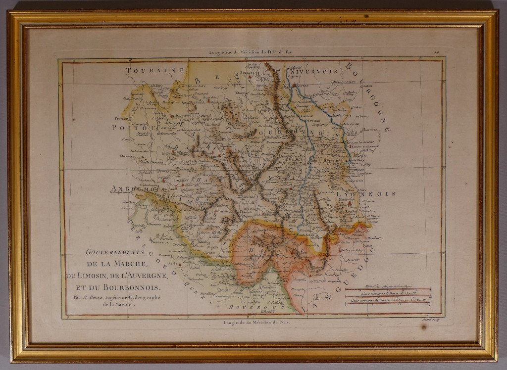
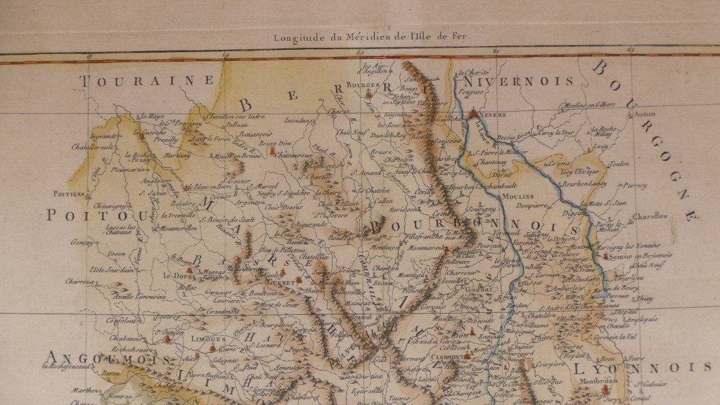
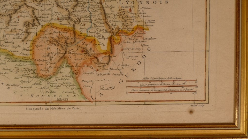
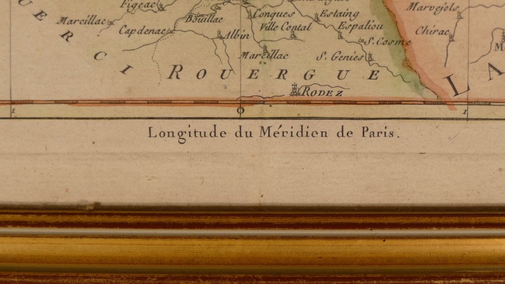
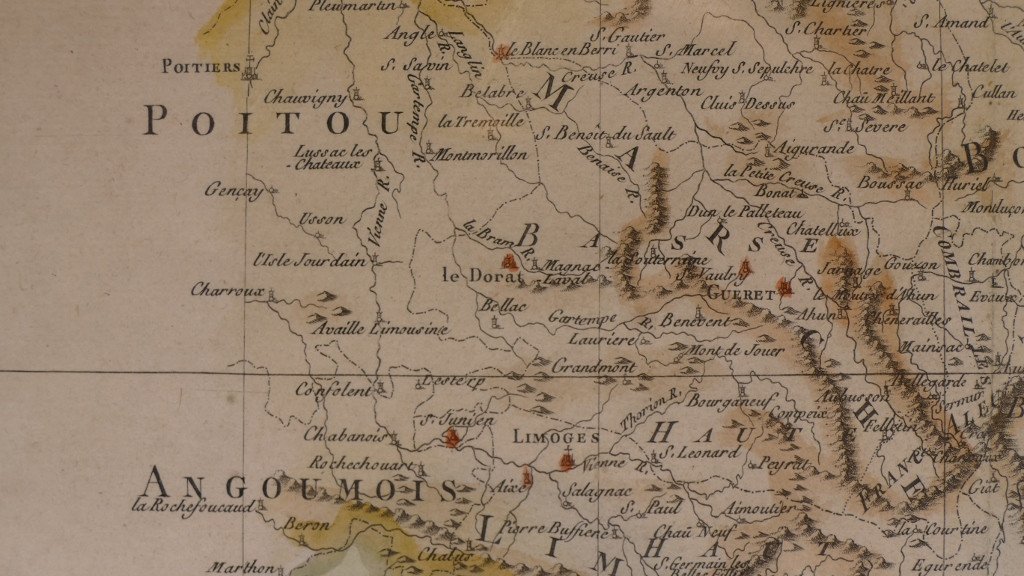
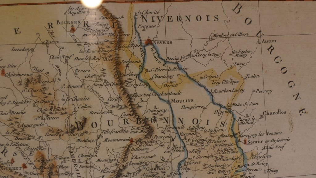
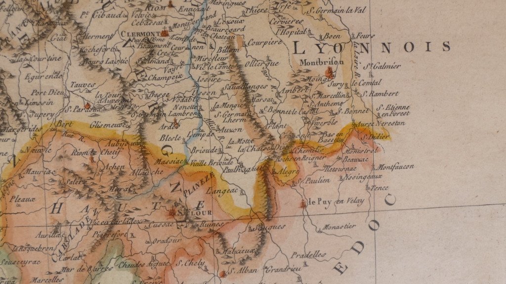
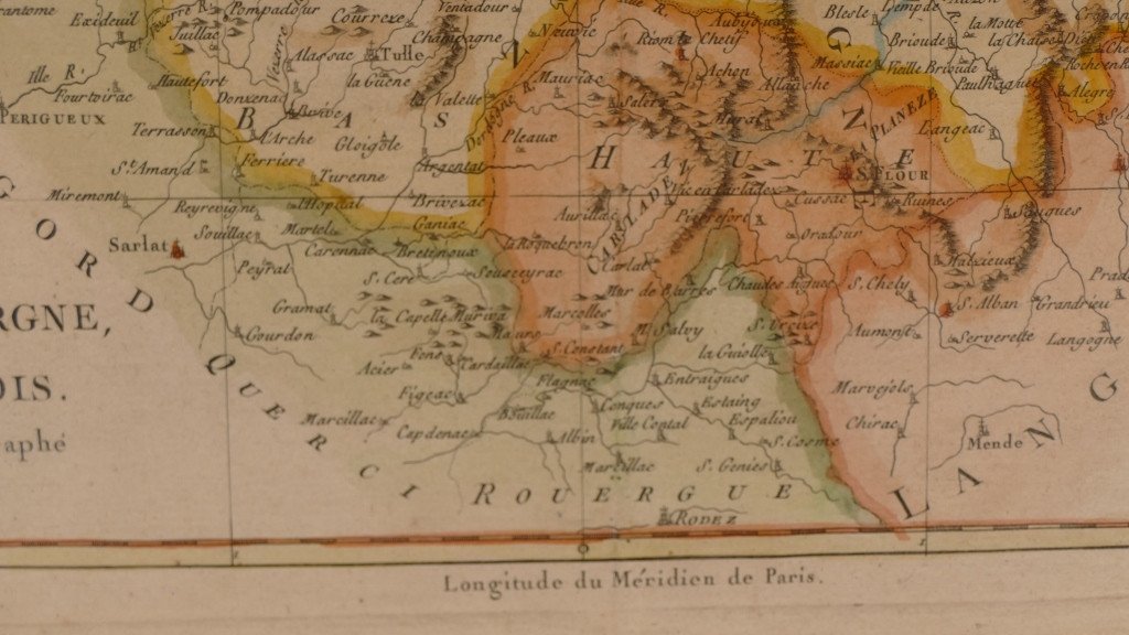
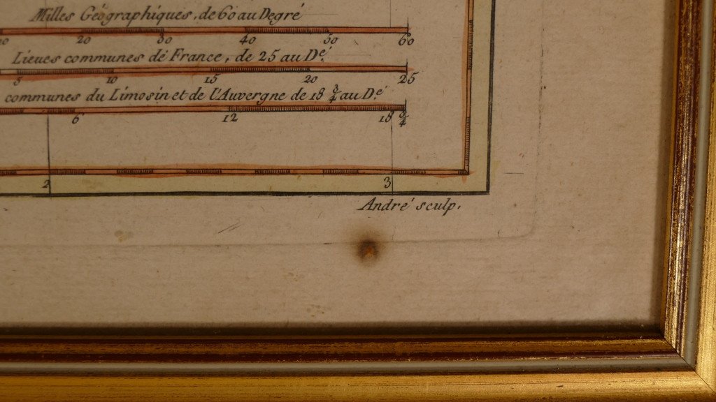
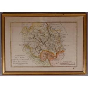
"18th Century Map Of La Marche, Limousin, Auvergne And Bourbonnois By M. Bonne"
18th century geographical map representing the governments of La Marche, Limousin, Auvergne and Bourbonnois by Rigobert Bonne (1727-1794) was a French geographer, hydrographer and cartographer, master of mathematics in the 18th century and graved by André. Good condition, some foxing. Golden baguette frame from the beginning of the 20th century. Delivery 18 euros in France, 35 euros in the EU and 60 euros rest of the world.
Price: 350 €
credit
Artist: Graveur André D'après M. Bonne
Period: 18th century
Style: Louis 16th, Directory
Condition: Good condition

Width: cadre 43.5 cm
Height: cadre 31.5 cm

Reference: 924677
Contact Dealer
line

"Le Grenier d'Augustine" See more objects from this dealer

line

"Prints (Relief, Intaglio), Louis 16th, Directory"

More objects on Proantic.com
Subscribe to newsletter
line
facebook
pinterest
instagram
Le Grenier d'Augustine
Free delivery once a month for Paris
18th Century Map Of La Marche, Limousin, Auvergne And Bourbonnois By M. Bonne
924677-main-62471e51db57f.jpg
06 76 95 92 10
www.legrenierdaugustine.com


*We will send you a confirmation email from info@proantic.com Please check your messages, including the spam folder.

Thank you! Your submission has been received!

Oops! Something went wrong while submitting the form