Map Levasseur, 19th, Calais. flag

Map Levasseur, 19th, Calais.
Map Levasseur, 19th, Calais.-photo-2

9590-1.jpg 9590-2.jpg

Object description :

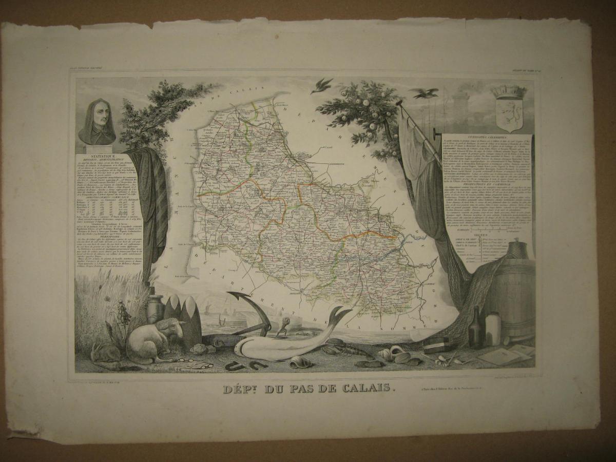
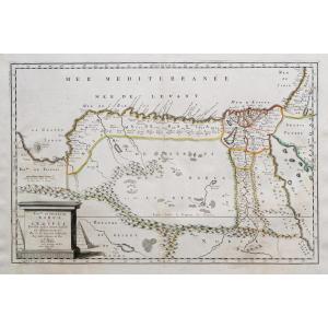
"Map Levasseur, 19th, Calais."
Map from the atlas of Levasseur, 19 th. It represents the region of Calais. We also have other areas.
Price: 18 €
Period: 19th century
Style: Other Style

Length: 49 cms
Height: 35 cms

Reference: 9590
line

"Cave et fils" See more objects from this dealer

line

"Old Maps, Other Style"

More objects on Proantic.com
Subscribe to newsletter
line
facebook
pinterest
instagram

Cave et fils
Ancient frames, Guilted wood, Mirors and Paintings
Map Levasseur, 19th, Calais.
9590-1.jpg

06.31.58.80.71


*We will send you a confirmation email from info@proantic.com Please check your messages, including the spam folder.

Thank you! Your submission has been received!

Oops! Something went wrong while submitting the form