Limites colorées de l’époque.
1 petite déchirure restaurée sur 1cm dans le centre de la marge inférieure n’atteignant pas la carte.
1 petit trou de ver sous le Port de Cotton.
Etat correct.
Format feuille : 14,5 x 12 cm.
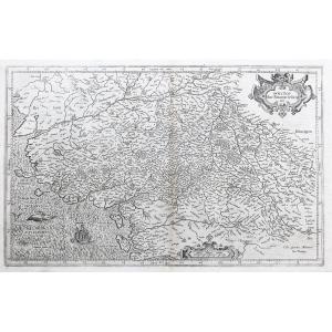
Original antique map around the 18th century
Vous pouvez consulter l’ensemble des cartes, livres et gravures disponibles sur votre région en cliquant sur le lien de notre site internet spécialisé en archives anciennes géographiques :
https://cartes-livres-anciens.com/categorie-produit/cartes-geographiques-anciennes-original-antique-maps/france/bretagne/
Règlement sécurisé par carte bancaire sur notre site internet en cliquant sur le lien ci-dessous :
https://cartes-livres-anciens.com/produit/cartes-geographiques-anciennes-original-antique-maps/france/bretagne/carte-geographique-ancienne-de-belle-ile/
Toutes nos cartes et gravures sont accompagnées d’un certificat d’authenticité.
Original proof produced at the end of the 18th century. Anonymous. Colored boundaries of the time. 1 small restored tear of 1cm in the center of the lower margin not reaching the map. 1 small wormhole under Cotton Port. Fair condition. Sheet size: 14.5 x 12 cm. Original antique map around the 18th century You can consult all the maps, books and engravings available in your region by clicking on the link on our website specializing in ancient geographic archives: https://cartes-livres-anciens.com/ categorie-produit/cartes-geographiques-anciennes-original-antique-maps/france/bretagne/ Secure payment by credit card on our website by clicking on the link below: https://cartes-livres-anciens.com/ product/old-geographical-maps-original-antique-maps/france/brittany/old-geographical-map-of-belle-ile/ All our maps and engravings are accompanied by a certificate of authenticity.







 Le Magazine de PROANTIC
 TRÉSORS Magazine
 Rivista Artiquariato