Map Of Argentina Nineteenth - Mapa De Los Ferro Carriles Republica Argentina - Carlos Gordon flag


Object description :

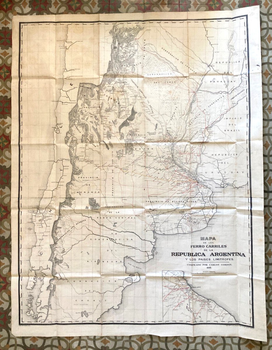
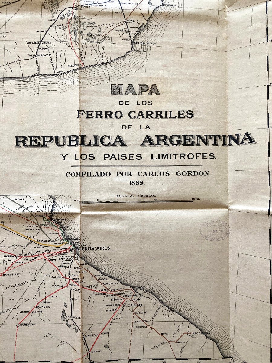
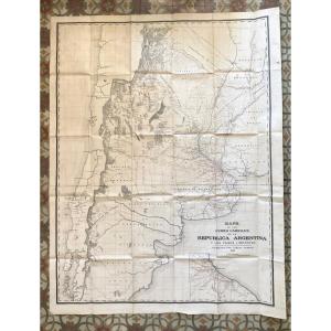
"Map Of Argentina Nineteenth - Mapa De Los Ferro Carriles Republica Argentina - Carlos Gordon"
Map of Argentina 19th, 156 x 120, Mapa de Los Ferro Carriles, Republica Argentina y Los Paises limitrofes, compiled by Carlos Gordon 1889, duly stamped, very good condition, rare imperfections, canvas, traces of folds. We can ship worldwide, please ask for details Shipping cost to Argentina: 30 Euros For France, sending by registered Colissimo 15 Euros Tel: 0611748754
Price: 450 €
Artist: Carlos Gordon
Period: 19th century
Style: Other Style
Condition: Très bon état de conservation

Material: Paper
Length: 120
Height: 156

Reference: 985773
Contact Dealer
line

"B&R Arts décoratifs" See more objects from this dealer

line

"Old Maps, Other Style"

More objects on Proantic.com
Subscribe to newsletter
line
facebook
pinterest
instagram
B&R Arts décoratifs
Galerie 805
Map Of Argentina Nineteenth - Mapa De Los Ferro Carriles Republica Argentina - Carlos Gordon
985773-main-62f3e368f2b18.jpg
0677786381


*We will send you a confirmation email from info@proantic.com Please check your messages, including the spam folder.

Thank you! Your submission has been received!

Oops! Something went wrong while submitting the form