Old Maps
30 objects
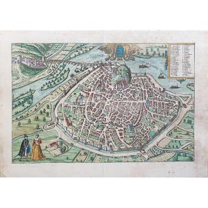
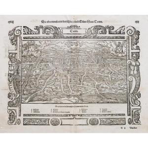
Old Map Of The Town Of Rouffach (alsace), Circa 1550 / Book By Fr[...]
16th century
360 €


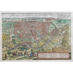
Holy Land Palestine Abraham Ortelius (1527-1598) Period XVI Or Ea[...]
16th century
450 €


30 objects
