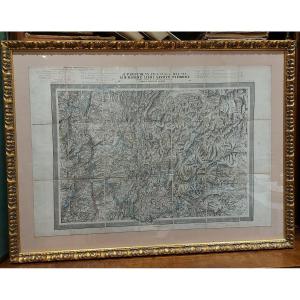
From the NEW GEOGRAPHY and STATISTICS of FRANCE. By J. HENRY. Each plate is presented in the same way: Famous person, presentation of the department, a part on the remarks and curiosities of the place[...]
Pretty little original polychrome engraving, representing the department of HAUT-RHIN with a small comment on the number of inhabitants, surface area… Hand-watercoloured. Dimension(s): Frame: Height. [...]
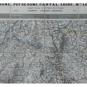
I offer you this beautiful card, dating from the middle of the 19th century, enhanced with watercolor and gouache, at the time. Pretty colors, a good mat, a lacquered baguette, all dated 1968 on the b[...]
gravure de Lemercier tirée de l'atlas national français représentant le département français du Finistère France milieru du XIX sec.
33 cm x 56 a encadrer
Drawn and handwritten map from 1823 of the Kingdom of France (under the reign of Charles X). Very beautiful work of cartography signed and dated, recent framing.
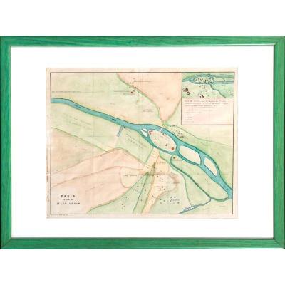
Map of Paris at the time of Julius Caesar.
Early 19th century colored print, c. 1825.
Anachronistic cartography of the city of Lutetia and its surroundings around 55 BC.
Indications:
"Plan of Lute[...]
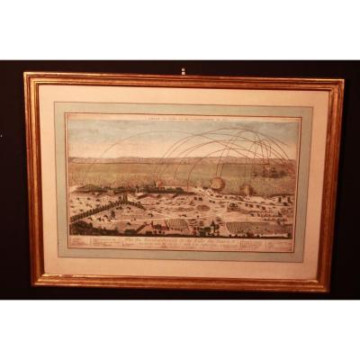
Optical view late 18th century. Perspective view representing "the bombing of the city of Le Havre on July 4, 1749". Publisher: Basset, rue St Jacques. Dimensions of the frame: 62cm x 44.5cm Dimension[...]
Proantic uses a cookie to analyze traffic and improve its service by using Google Analytics. Data sent to Google Analytics (frequency of visits to the site and pages visited) are anonymous. No other cookie tracks your activity, your personal data is not collected. Thank you for helping us to have better understanding how Proantic is used.


 Le Magazine de PROANTIC
 TRÉSORS Magazine
 Rivista Artiquariato